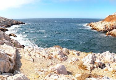
28 km | 35 km-effort
secteur callelongue-pointe callot
mapomme
User
Length
7.3 km
Max alt
371 m
Uphill gradient
397 m
Km-Effort
12.6 km
Min alt
9 m
Downhill gradient
402 m
Boucle
Yes
Creation date :
2014-12-10 00:00:00.0
Updated on :
2014-12-10 00:00:00.0
4h32
Difficulty : Easy
FREE GPS app for hiking
About
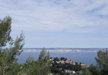
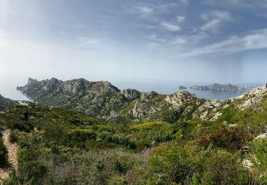
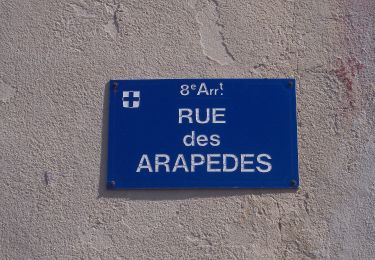
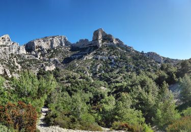
Trail Walking of 7.3 km to be discovered at Provence-Alpes-Côte d'Azur, Bouches-du-Rhône, Marseille. This trail is proposed by mapomme.
Description
Décrochage du gps en début de descente mais belle ballade
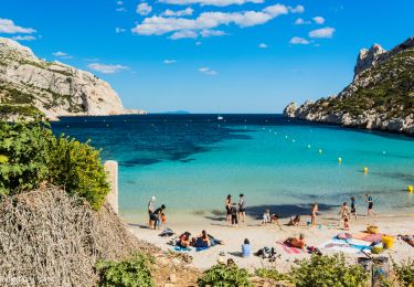
Positioning
Country:
France
Region :
Provence-Alpes-Côte d'Azur
Department/Province :
Bouches-du-Rhône
Municipality :
Marseille
Location:
8th Arrondissement
Start:(Dec)
Start:(UTM)
690593 ; 4787903 (31T) N.
Comments
Trails nearby
OR-6270829--Marseille:Trilogie des Calanques
Mountain bike
Difficult
(1)
Marseille,
Provence-Alpes-Côte d'Azur,
Bouches-du-Rhône,
France
3h 30min
Yes
Marseilleveyre
Walking
Very difficult
Marseille,
Provence-Alpes-Côte d'Azur,
Bouches-du-Rhône,
France
13.8 km | 23 km-effort
6h 7min
Yes
FR-4
On foot
Easy
Marseille,
Provence-Alpes-Côte d'Azur,
Bouches-du-Rhône,
France
4 km | 7.3 km-effort
1h 39min
No
FR-1
On foot
Easy
Marseille,
Provence-Alpes-Côte d'Azur,
Bouches-du-Rhône,
France
3.4 km | 5.8 km-effort
1h 18min
No
FR-1
On foot
Easy
(1)
Marseille,
Provence-Alpes-Côte d'Azur,
Bouches-du-Rhône,
France
7.2 km | 12.8 km-effort
2h 54min
No
FR-1
On foot
Easy
Marseille,
Provence-Alpes-Côte d'Azur,
Bouches-du-Rhône,
France
3 km | 7.1 km-effort
1h 37min
No
FR-1
On foot
Easy
Marseille,
Provence-Alpes-Côte d'Azur,
Bouches-du-Rhône,
France
6.3 km | 13.2 km-effort
3h 0min
No
FR-2
On foot
Easy
Marseille,
Provence-Alpes-Côte d'Azur,
Bouches-du-Rhône,
France
5.4 km | 9 km-effort
2h 3min
No
FR-2
On foot
Easy
Marseille,
Provence-Alpes-Côte d'Azur,
Bouches-du-Rhône,
France
7.8 km | 12.8 km-effort
2h 54min
No