


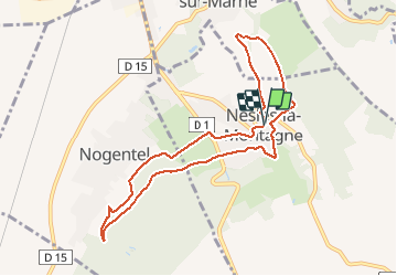

11.1 km | 13.3 km-effort

User GUIDE


FREE GPS app for hiking
 SityTrail
IGN / Geographical institutes
SityTrail World
The world is yours!
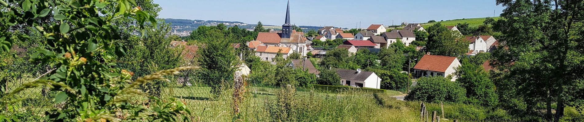
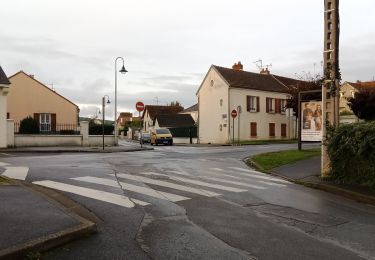
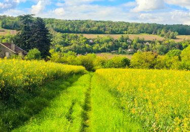
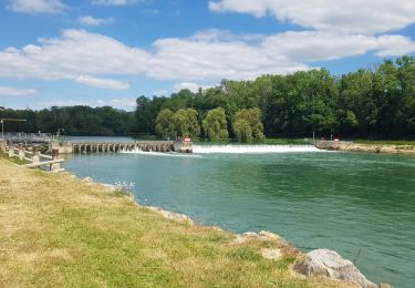
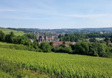
Trail Walking of 8.6 km to be discovered at Hauts-de-France, Aisne, Nesles-la-Montagne. This trail is proposed by VANDERPUTTENMi.
Suivre le GR14 depuis Nesles la Montagne jusque l'intersection avec la Dhuys, contourner Nesles par la rue de la Galère et le chemin des Recettes....


Walking
Walking
Walking
Walking
Walking
Walking

Walking
Mountain bike
Walking