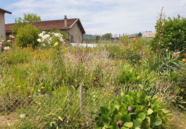
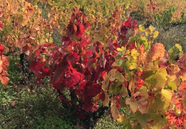
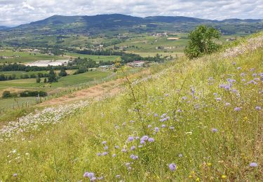
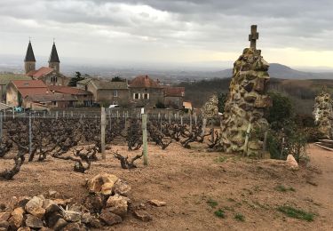
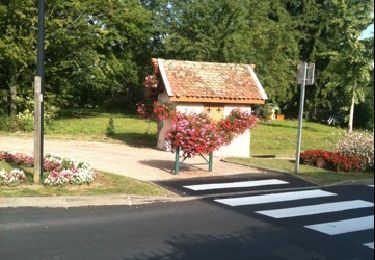
Trail Mountain bike Belleville-en-Beaujolais - lancié-montmelard-aller - Photo
 sbouet
sbouet

User

© OpenStreetMap contributors
Length
Length
73 km
Max alt
Max alt
954 m
Uphill gradient
Uphill gradient
2424 m
Km-Effort
Km-Effort  
104 km
Min alt
Min alt
192 m
Downhill gradient
Downhill gradient
2133 m
Boucle
Boucle
No
Creation date :
2019-05-06 23:25:16.937
Updated on :
2020-06-05 11:22:47.435

(0 Reviews)

Mountain bike
Mountain bike
5h13
Difficulty : Unknown

Scan this QR Code to open this trail in the SityTrail application

FREE GPS app for hiking

Logo SityTrail SityTrail

IGN / Geographical institutes

Download SityTrail from the App Store Download SityTrail from Google Play

Logo SityTrail SityTrail World

The world is yours!

Download SityTrail from the App Store Download SityTrail from Google Play Download SityTrail on Huawei AppGallery

About

Trail Mountain bike of 73 km to be discovered at Auvergne-Rhône-Alpes, Rhône, Belleville-en-Beaujolais. This trail is proposed by sbouet.

Elevation profile

Positioning

Country:
France
Region :
Auvergne-Rhône-Alpes
Department/Province :
Rhône
Municipality :
Belleville-en-Beaujolais
Location:
Saint-Jean-d'Ardières
Start:(UTM)
632726 ; 5108968 (31T) N.

Trails nearby

Trail Walking Villié-Morgon - sentier Victor Villié morgon  - Photo
Walking
janussity

Walking

Difficult
Villié-Morgon, Auvergne-Rhône-Alpes, Rhône, France
15.9 km | 21 km-effort
3h 35min
Yes
Trail Walking Charentay - Charentay  (17 km - D. 505 m) - Photo
Walking
Thomasdanielle

Walking

Very difficult
Charentay, Auvergne-Rhône-Alpes, Rhône, France
16.9 km | 24 km-effort
4h 22min
Yes
Trail Cycle Montmerle-sur-Saône - la tousse - Photo
Cycle
vainve

Cycle

Very easy
Montmerle-sur-Saône, Auvergne-Rhône-Alpes, Ain, France
49 km | 55 km-effort
Unknown
No
Trail Walking Saint-Lager - MT Brouilly .St Lager - Photo
Walking
janussity

Walking

Medium
Saint-Lager, Auvergne-Rhône-Alpes, Rhône, France
9.4 km | 13 km-effort
2h 45min
Yes
Trail Horseback riding Montmerle-sur-Saône - Beau Dimanche Cheval en Chalaronne Dombes Saône Vallée - Photo
Horseback riding
Ferme-Passion

Horseback riding

Medium
Montmerle-sur-Saône, Auvergne-Rhône-Alpes, Ain, France
33 km | 37 km-effort
3h 43min
Yes
Trail Walking Villié-Morgon - Villié-Morgon (19 km - D. 560 m) - Photo
Walking
Thomasdanielle

Walking

Villié-Morgon, Auvergne-Rhône-Alpes, Rhône, France
18.5 km | 26 km-effort
4h 45min
Yes
Trail Cycle Montmerle-sur-Saône - 2010-08-08 - 20h02m23 - Photo
Cycle
vainve

Cycle

Very easy
Montmerle-sur-Saône, Auvergne-Rhône-Alpes, Ain, France
40 km | 45 km-effort
Unknown
Yes
Trail Walking Villié-Morgon - vo - Photo
Walking
pascal.schiavinib@orange.fr

Walking

Very difficult
Villié-Morgon, Auvergne-Rhône-Alpes, Rhône, France
24 km | 33 km-effort
5h 21min
Yes
Trail Walking Villié-Morgon - Morgon - Côte du PY-Villié - Photo
Walking
janussity

Walking

Easy
Villié-Morgon, Auvergne-Rhône-Alpes, Rhône, France
3.6 km | 4.8 km-effort
1h 5min
Yes


Close
My subscriptions