


18.4 km | 27 km-effort

User


FREE GPS app for hiking
 SityTrail
IGN / Geographical institutes
SityTrail World
The world is yours!
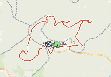
Trail Walking of 13.4 km to be discovered at Grand Est, Bas-Rhin, La Vancelle. This trail is proposed by VacheKiri67.
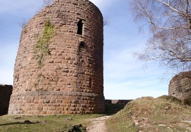
Faite le 01/06/2020. D'après "Passion Vosges - Escapade en Alsace Centrale" N°9 : Les Hauts de La Vancelle. Durée indiquée pour le circuit : 4h30. Départ : La Vancelle, parking. La Vancelle - Chalmont - rocher du Coucou - château du Frankenbourg - La Vancelle.
La difficulté du parcours est le sentier croix rouge avec 120m sur une distance de 500m.
Très beau parcours.


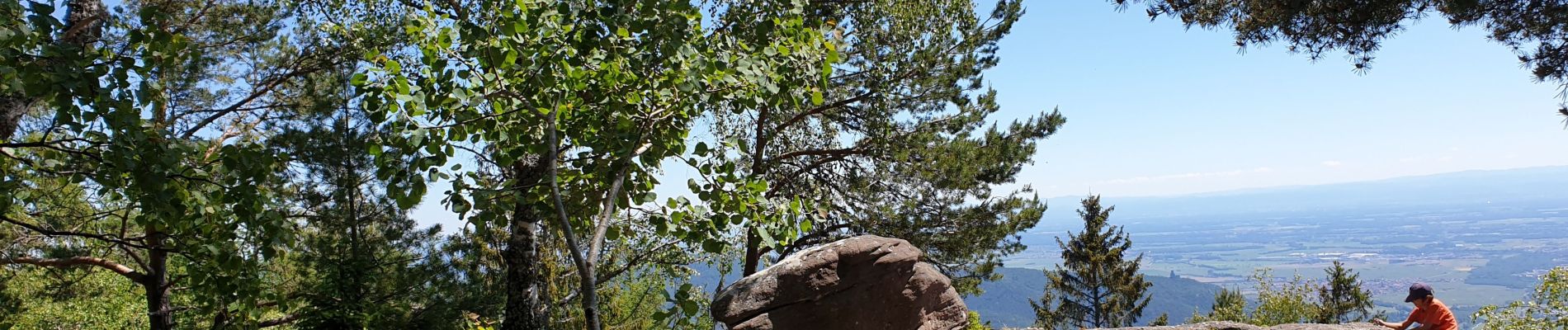
35 photos in total. Please click on a photo to see them all in the gallery.

Mountain bike

Walking

Walking
Walking
Walking

Walking

Walking
Walking
Walking