


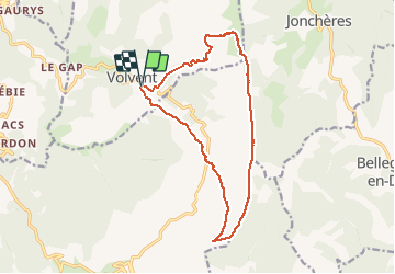


8.5 km | 16 km-effort

User


FREE GPS app for hiking
 SityTrail
IGN / Geographical institutes
SityTrail World
The world is yours!
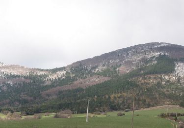
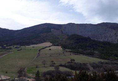
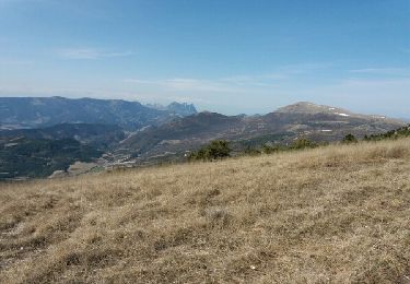
Trail Walking of 15.6 km to be discovered at Auvergne-Rhône-Alpes, Drôme, Volvent. This trail is proposed by MARC_26.
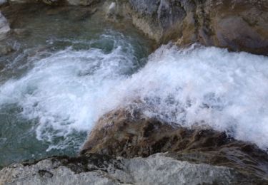
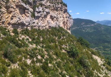
Belle balade avec de longues crêtes quand on est en haut.
Pour le retour mon téléphone s'est arrêté. suivre le chemin large (pas le premier) qui passe par le serre de guemard


Walking
Walking

sport
Snowshoes
Walking
Walking
Walking
Walking
Walking