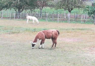
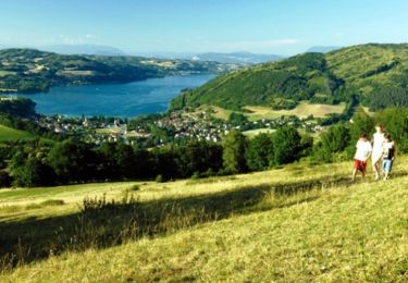
Trail Walking Saint-Blaise-du-Buis - Le tour des Voyes - Photo
 patjobou
patjobou

User

© OpenStreetMap contributors
Length
Length
8.5 km
Max alt
Max alt
481 m
Uphill gradient
Uphill gradient
162 m
Km-Effort
Km-Effort  
10.6 km
Min alt
Min alt
387 m
Downhill gradient
Downhill gradient
159 m
Boucle
Boucle
Yes
Creation date :
2020-05-31 12:54:16.152
Updated on :
2020-05-31 20:34:58.93

(0 Reviews)

Walking
Walking
2h24
Difficulty : Easy

Scan this QR Code to open this trail in the SityTrail application

FREE GPS app for hiking

Logo SityTrail SityTrail

IGN / Geographical institutes

Download SityTrail from the App Store Download SityTrail from Google Play

Logo SityTrail SityTrail World

The world is yours!

Download SityTrail from the App Store Download SityTrail from Google Play Download SityTrail on Huawei AppGallery

About

Trail Walking of 8.5 km to be discovered at Auvergne-Rhône-Alpes, Isère, Saint-Blaise-du-Buis. This trail is proposed by patjobou.

Description

Retour par l'espace naturel sensible de l'étang de Cote Manin et la zone humide du Rivier.

Elevation profile

Photos

Positioning

Country:
France
Region :
Auvergne-Rhône-Alpes
Department/Province :
Isère
Municipality :
Saint-Blaise-du-Buis
Location:
Unknown
Start:(UTM)
695444 ; 5028066 (31T) N.

Trails nearby

Trail Walking Beaucroissant - Beaucroissant-Galaboutemps - Photo
Walking
raymondfn

Walking

Medium
(1)
Beaucroissant, Auvergne-Rhône-Alpes, Isère, France
7.2 km | 7.6 km-effort
1h 33min
Yes
Trail Mountain bike Chirens - Rives Vtt départ Chirens  - Photo
Mountain bike
alain.moisset@orange.fr

Mountain bike

Difficult
(1)
Chirens, Auvergne-Rhône-Alpes, Isère, France
25 km | 34 km-effort
2h 16min
No
Trail Walking Réaumont - reaumont 2019 - Photo
Walking
goizet

Walking

Easy
Réaumont, Auvergne-Rhône-Alpes, Isère, France
8.2 km | 10.6 km-effort
2h 57min
Yes
Trail Mountain bike Chirens - Croix des cochettes by night - Photo
Mountain bike
alain.moisset@orange.fr

Mountain bike

Difficult
Chirens, Auvergne-Rhône-Alpes, Isère, France
11.1 km | 17.4 km-effort
1h 37min
No
Trail Electric bike Chirens - Chirens mille martyrs - Photo
Electric bike
alain.moisset@orange.fr

Electric bike

Easy
Chirens, Auvergne-Rhône-Alpes, Isère, France
44 km | 55 km-effort
2h 25min
Yes
Trail Walking La Murette - Pays Voironnais - Tour de la Murette - Photo
Walking
tracegps

Walking

Easy
(1)
La Murette, Auvergne-Rhône-Alpes, Isère, France
3.5 km | 4.4 km-effort
45min
Yes
Trail Walking Chirens - Pays Voironnais - Circuit du Marais de Chirens - variante - Photo
Walking
tracegps

Walking

Medium
Chirens, Auvergne-Rhône-Alpes, Isère, France
13.8 km | 19 km-effort
2h 30min
Yes
Trail Walking Chirens - Pays Voironnais - Circuit du Marais de Chirens - Photo
Walking
tracegps

Walking

Medium
(1)
Chirens, Auvergne-Rhône-Alpes, Isère, France
10.4 km | 12.8 km-effort
1h 49min
Yes
Trail Walking Beaucroissant - SityTrail - RS-Beaucroissant-Les étangs - Photo
Walking
raymondfn

Walking

Easy
Beaucroissant, Auvergne-Rhône-Alpes, Isère, France
4.2 km | 5.1 km-effort
1h 9min
Yes


Close
My subscriptions