


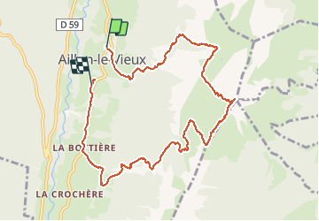

14.2 km | 28 km-effort


User


FREE GPS app for hiking
 SityTrail
IGN / Geographical institutes
SityTrail World
The world is yours!
Trail Walking of 10.4 km to be discovered at Auvergne-Rhône-Alpes, Savoy, Aillon-le-Vieux. This trail is proposed by scalpy.
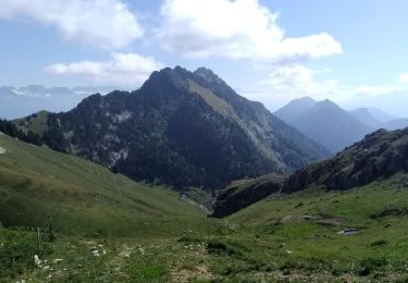
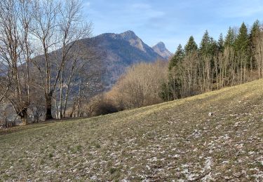
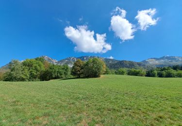
montée raide par la forêt jusqu'à la crête que l'eut jusqu'au sommet. vue magnifique sur.les.bauges et le lac d'annecy ainsi que les alpes.

Walking

Touring skiing

Walking

Walking
Walking
Walking
Walking
Walking
Walking