


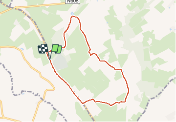

9.5 km | 12 km-effort


User GUIDE


FREE GPS app for hiking
 SityTrail
IGN / Geographical institutes
SityTrail World
The world is yours!
Trail Walking of 7.1 km to be discovered at Wallonia, Liège, Plombières. This trail is proposed by pierreh01.
Très jolie balade, au départ du cimetière américain, alternant route, prairie avec échaliers, sentiers et sous-bois.
Sans réelle difficulté, mais avec quelques dénivelés à aborder à son rythme.


Walking

Walking

Walking

Walking

Walking

Walking
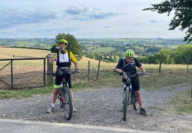
Mountain bike
Mountain bike
Walking