


30 km | 40 km-effort


User


FREE GPS app for hiking
 SityTrail
IGN / Geographical institutes
SityTrail World
The world is yours!
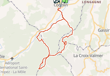
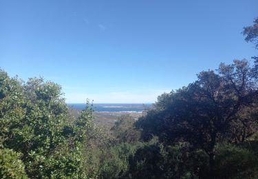
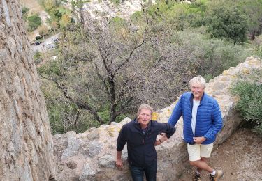
Trail Walking of 20 km to be discovered at Provence-Alpes-Côte d'Azur, Var, Cogolin. This trail is proposed by Christiancordin.
Cogolin GR 51 les faisses piste du val dAstier oppidum de Montjean GR 51 Bagueirede.


Mountain bike

Walking
Walking
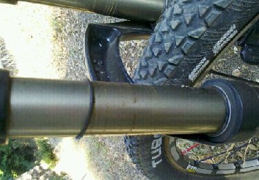
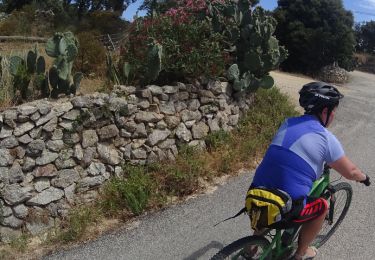
Mountain bike
Mountain bike

Mountain bike
Mountain bike
Walking
Walking