


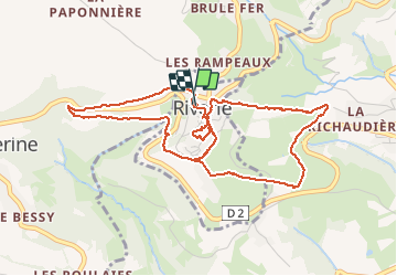


7.3 km | 9.5 km-effort

User


FREE GPS app for hiking
 SityTrail
IGN / Geographical institutes
SityTrail World
The world is yours!
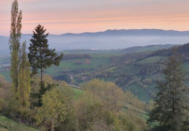
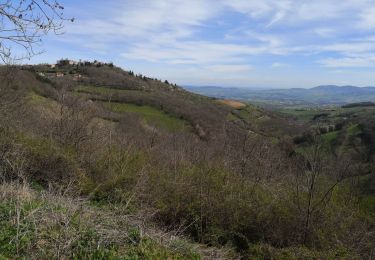
Trail Walking of 5.5 km to be discovered at Auvergne-Rhône-Alpes, Rhône, Riverie. This trail is proposed by Sigmut.
Randonnée variée permettant de découvrir ce très beau village. Randonnée effectuée avec un enfant de 3 ans et un autre de 5 ans.


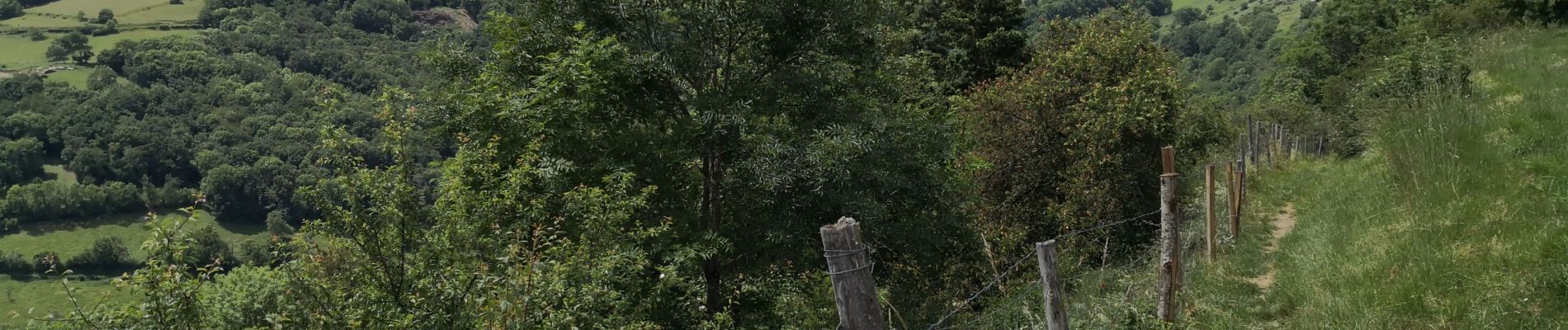
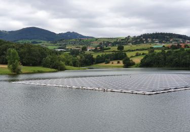
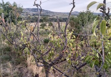
21 photos in total. Please click on a photo to see them all in the gallery.
Walking

Walking

Walking
Walking

Walking
Walking

Walking

Walking
Walking