


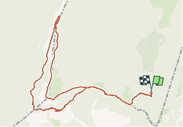

7.6 km | 10.8 km-effort

User


FREE GPS app for hiking
 SityTrail
IGN / Geographical institutes
SityTrail World
The world is yours!
Trail Walking of 15.1 km to be discovered at Auvergne-Rhône-Alpes, Drôme, Vassieux-en-Vercors. This trail is proposed by Emelle.
Passage sous le But Saint Genix qui se ferme, après avoir quitté le sentier qui descend sur Marignac, bien rester sur la sente. La partie non balisée sur la carte est bien évidente (pointillés noirs sur la carte). Éviter la partie dans les pierriers est å éviter par grosses chaleurs. À refaire, on prendrait le sentier qui dėmarre à Champs Rolland. Accès au Trou de fa fille par le pas Bouillanain ... pas d'un grand intérêt cependant. Jolie boucle sinon.


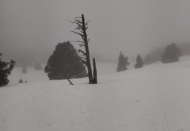
Snowshoes

Mountain bike

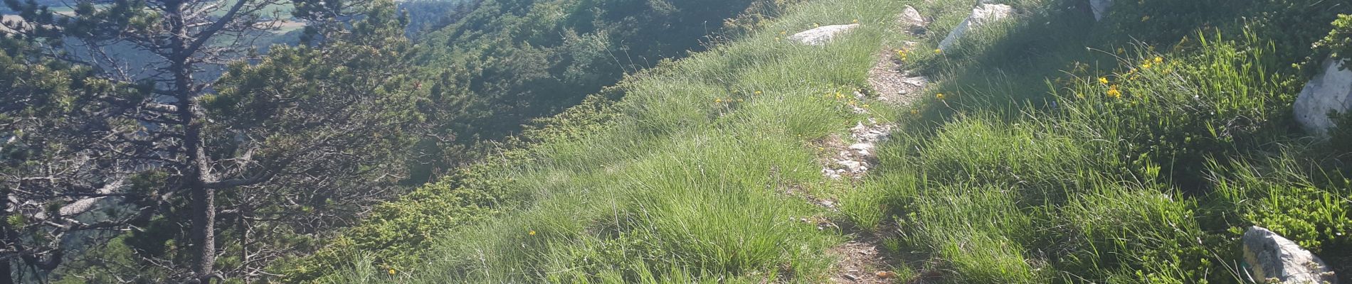
Walking

Walking

Walking
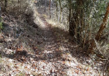
Walking
Walking

Walking

Walking