


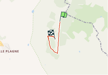

5.7 km | 7.8 km-effort


FREE GPS app for hiking
 SityTrail
IGN / Geographical institutes
SityTrail World
The world is yours!
Trail Walking of 3.3 km to be discovered at Auvergne-Rhône-Alpes, Savoy, La Plagne-Tarentaise. This trail is proposed by Caroline Lheureux-Jaouen.
Bloqué par le torrent de la piste noire Crozats

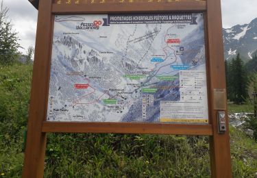
On foot

On foot

On foot

On foot

On foot
Walking

Walking
Walking
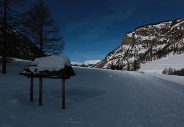
Snowshoes