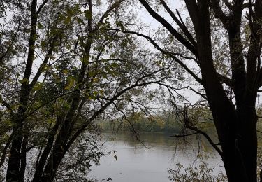
Trail Walking Savennières - Savennières - Photo
 Polenade
Polenade

User

© OpenStreetMap contributors
Length
Length
10.6 km
Max alt
Max alt
66 m
Uphill gradient
Uphill gradient
120 m
Km-Effort
Km-Effort  
12.2 km
Min alt
Min alt
15 m
Downhill gradient
Downhill gradient
120 m
Boucle
Boucle
Yes
Creation date :
2020-05-17 14:13:13.907
Updated on :
2020-05-17 17:38:04.848

(1 Reviews)

Walking
Walking
2h15
Difficulty : Easy

Scan this QR Code to open this trail in the SityTrail application

FREE GPS app for hiking

Logo SityTrail SityTrail

IGN / Geographical institutes

Download SityTrail from the App Store Download SityTrail from Google Play

Logo SityTrail SityTrail World

The world is yours!

Download SityTrail from the App Store Download SityTrail from Google Play Download SityTrail on Huawei AppGallery

About

Trail Walking of 10.6 km to be discovered at Pays de la Loire, Maine-et-Loire, Savennières. This trail is proposed by Polenade.

Description

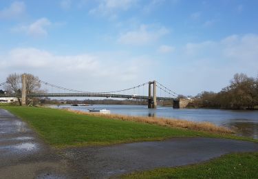
La Loire, le vignoble, les villages ... Tout est à délecter, dont le vin local.
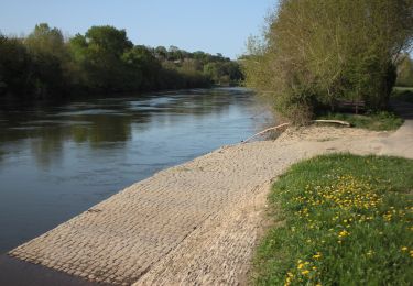
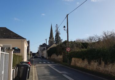
Départ sur le parking derrière cette belle église à visiter. Après avoir passer sous la voie ferrée prendre le second escalier à gauche. On longe la Loire en face de l'île de Béhuard. On monte à gauche après la Pierre Bécherelle, lieu d'escalade.
A voir la fontaine St Guénette, le petit bourg d'Epiré avec son chai dans une ancienne église. On atteint les vignes par le chemin du Pitrouillet. Ici on cultive le chenin qui donne le fameux Savennières : vues imprenables sur la vallée de la Loire que l'on domine. on retrouve les vignes après une très agréable montée en sous-bois. Puis on replonge sur le superbe village de Savennières : belles demeures, chateaux... En fin de parcours ne pas oublier cet arbre remarquable :  un platane de qui couvre 1300 m au sol!

Elevation profile

Positioning

Country:
France
Region :
Pays de la Loire
Department/Province :
Maine-et-Loire
Municipality :
Savennières
Location:
Unknown
Start:(UTM)
676941 ; 5250453 (30T) N.

Comments

Please log in to post a review or rate the element


Trails nearby

Trail Walking Rochefort-sur-Loire - track - Photo
Walking
MarcBoscher

Walking

Difficult
(1)
Rochefort-sur-Loire, Pays de la Loire, Maine-et-Loire, France
11.3 km | 13.3 km-effort
3h 1min
Yes
Trail Walking La Possonnière - Translayon 2023 14ème édition - Photo
Walking
GUIDE
chessyca

Walking

Medium
(1)
La Possonnière, Pays de la Loire, Maine-et-Loire, France
26 km | 28 km-effort
5h 46min
Yes
Trail Walking Chaudefonds-sur-Layon - Chaudefonds sur Layon  - Photo
Walking
louis49

Walking

Difficult
Chaudefonds-sur-Layon, Pays de la Loire, Maine-et-Loire, France
10.9 km | 13 km-effort
2h 54min
Yes
Trail Walking Bouchemaine - la pointe bouchemaine  - Photo
Walking
louis49

Walking

Difficult
Bouchemaine, Pays de la Loire, Maine-et-Loire, France
11.5 km | 13 km-effort
2h 51min
Yes
Trail On foot Béhuard - Béhuard : flânerie autour de l'île - Photo
On foot
GUIDE+

On foot

Easy
Béhuard, Pays de la Loire, Maine-et-Loire, France
5.7 km | 6.1 km-effort
1h 22min
No
Trail Walking Bouchemaine - Bouchemaine, abbaye de La Baumette  - Photo
Walking
louis49

Walking

Medium
Bouchemaine, Pays de la Loire, Maine-et-Loire, France
21 km | 24 km-effort
2h 31min
No
Trail Walking Val-du-Layon - gpx-trace - Photo
Walking
bubuserge

Walking

Very difficult
(1)
Val-du-Layon, Pays de la Loire, Maine-et-Loire, France
18.8 km | 23 km-effort
5h 7min
Yes
Trail Walking Savennières - Savennières - Photo
Walking
louis49

Walking

Medium
Savennières, Pays de la Loire, Maine-et-Loire, France
10.6 km | 12.2 km-effort
2h 56min
Yes
Trail Walking Saint-Jean-de-la-Croix - St Jean de la Croix  - Photo
Walking
louis49

Walking

Very easy
Saint-Jean-de-la-Croix, Pays de la Loire, Maine-et-Loire, France
10 km | 10.8 km-effort
2h 34min
Yes


Close
My subscriptions