


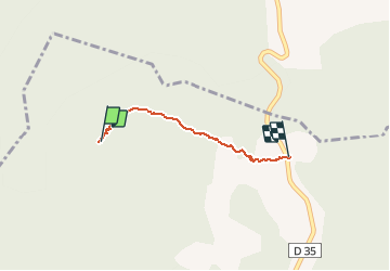

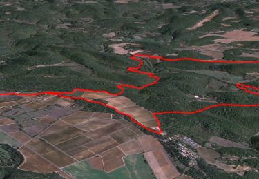
16.4 km | 21 km-effort


FREE GPS app for hiking
 SityTrail
IGN / Geographical institutes
SityTrail World
The world is yours!
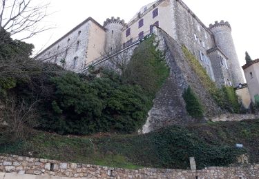
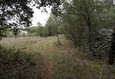
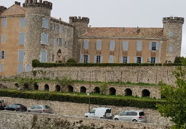
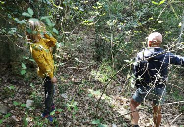
Trail Walking of 1.7 km to be discovered at Provence-Alpes-Côte d'Azur, Var, Barjols. This trail is proposed by vieuxcochonsseillonnais.
cc
g
gcr
derrir
n'y
Walking
Walking
Walking
Walking

Walking

Walking
Walking
Walking
Walking