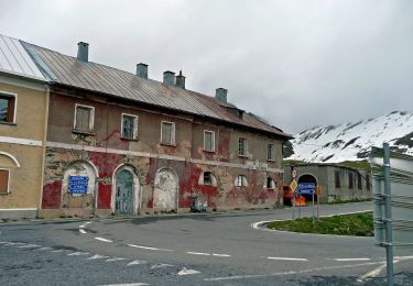
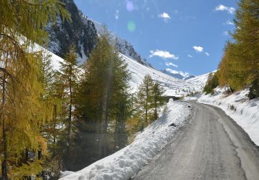
Trail Other activity Val Müstair - Umbrail - Breitkam - Photo
 bffcuc
bffcuc

User

© OpenStreetMap contributors
Length
Length
7.5 km
Max alt
Max alt
2866 m
Uphill gradient
Uphill gradient
403 m
Km-Effort
Km-Effort  
12.9 km
Min alt
Min alt
2486 m
Downhill gradient
Downhill gradient
403 m
Boucle
Boucle
Yes
Creation date :
2014-12-11 00:00:00.0
Updated on :
2014-12-11 00:00:00.0

(0 Reviews)

Other activity
Other activity
--
Difficulty : Unknown

Scan this QR Code to open this trail in the SityTrail application

FREE GPS app for hiking

Logo SityTrail SityTrail

IGN / Geographical institutes

Download SityTrail from the App Store Download SityTrail from Google Play

Logo SityTrail SityTrail World

The world is yours!

Download SityTrail from the App Store Download SityTrail from Google Play Download SityTrail on Huawei AppGallery

About

Trail Other activity of 7.5 km to be discovered at Grisons, Region Engiadina Bassa/Val Müstair, Val Müstair. This trail is proposed by bffcuc.

Description

Interessanter militärhistorischer Pfad entlang der Stellungen Schweizer und der Italiener im 1. Weltkrieg.
Der Aufsteig vom Pass zum Piz Umbrail ist ziemlich steil und man benötigt zuweilen Schwindelfreiheit.
Beim Weg vom Piz Umbrail zur Punta da Rims müssen stellenweise die Hände zu Hilfe genommen werden.

Elevation profile

Positioning

Country:
Switzerland
Region :
Grisons
Department/Province :
Region Engiadina Bassa/Val Müstair
Municipality :
Val Müstair
Location:
Unknown
Start:(UTM)
609884 ; 5155300 (32T) N.

Trails nearby

Trail On foot Val Müstair - Pass Umbrail - Piz da las Trais Linguas - Piz Cotschen - Photo
On foot
PRO

On foot

Easy
Val Müstair, Grisons, Region Engiadina Bassa/Val Müstair, Switzerland
4.9 km | 6.9 km-effort
1h 34min
No
Trail On foot Val Müstair - Blockhaus - Alp Prasüra - Sella da Piz Cotschen - Photo
On foot
PRO

On foot

Easy
Val Müstair, Grisons, Region Engiadina Bassa/Val Müstair, Switzerland
8.5 km | 12.1 km-effort
2h 45min
No
Trail Other activity Val Müstair - Umbrail - Piz Umbrail - Punta di Rims - Photo
Other activity
bffcuc

Other activity

Very easy
Val Müstair, Grisons, Region Engiadina Bassa/Val Müstair, Switzerland
9.3 km | 17.4 km-effort
Unknown
Yes
Trail Other activity Val Müstair - Dreidrachenspitze - Photo
Other activity
bffcuc

Other activity

Very easy
Val Müstair, Grisons, Region Engiadina Bassa/Val Müstair, Switzerland
7.9 km | 13.2 km-effort
3h 0min
Yes


Close
My subscriptions