


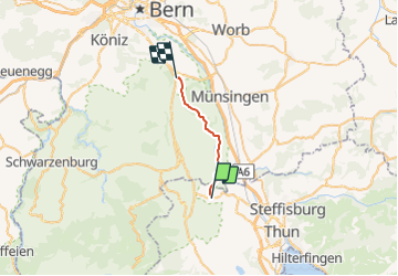

30 km | 34 km-effort


User


FREE GPS app for hiking
 SityTrail
IGN / Geographical institutes
SityTrail World
The world is yours!
Trail Other activity of 15 km to be discovered at Bern, Thun administrative district, Seftigen. This trail is proposed by bffcuc.
Der damals benutze Weg orographisch links des Triftwassers scheintn nicht mehr unterhalten zu werden und ist stellenweise abgerutscht.
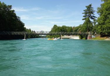
Canoe - kayak

Walking

Mountain bike
Walking

Other activity
Other activity
Walking
Other activity
Other activity