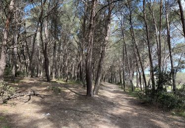
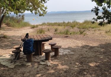
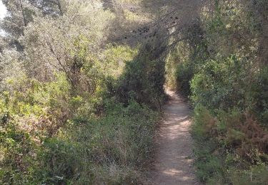
39 km | 46 km-effort
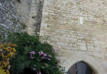
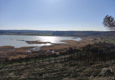
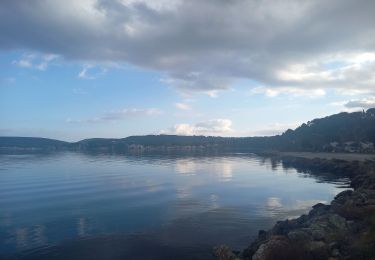
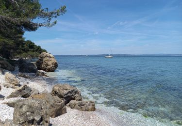
Mauvejane,vallon de Loubière Plateau de Lèbre
MicDul
User
Length
12.3 km
Max alt
135 m
Uphill gradient
242 m
Km-Effort
15.6 km
Min alt
2 m
Downhill gradient
243 m
Boucle
Yes
Creation date :
2020-04-25 15:12:19.933
Updated on :
2020-04-25 17:01:02.388
3h21
Difficulty : Medium
FREE GPS app for hiking
About
Trail Walking of 12.3 km to be discovered at Provence-Alpes-Côte d'Azur, Bouches-du-Rhône, Martigues. This trail is proposed by MicDul.
Points of interest
Positioning
Country:
France
Region :
Provence-Alpes-Côte d'Azur
Department/Province :
Bouches-du-Rhône
Municipality :
Martigues
Location:
Unknown
Start:(Dec)
Start:(UTM)
665865 ; 4811468 (31T) N.
Comments
Trails nearby
Entre mer et étangs
On foot
Very difficult
Saint-Mitre-les-Remparts,
Provence-Alpes-Côte d'Azur,
Bouches-du-Rhône,
France
10h 22min
Yes
Du Crépon aux Rocalèdes
On foot
Easy
Saint-Mitre-les-Remparts,
Provence-Alpes-Côte d'Azur,
Bouches-du-Rhône,
France
6.1 km | 8 km-effort
1h 49min
Yes
Forêt de Castillon Etangs de Pourra et d’Engrenier
On foot
Easy
Port-de-Bouc,
Provence-Alpes-Côte d'Azur,
Bouches-du-Rhône,
France
6.1 km | 7.7 km-effort
1h 45min
No
Les Tours Gros
On foot
Easy
Saint-Mitre-les-Remparts,
Provence-Alpes-Côte d'Azur,
Bouches-du-Rhône,
France
6.2 km | 7.9 km-effort
1h 48min
Yes
Le Ranquet-Istres 30.11.24
Walking
Easy
Istres,
Provence-Alpes-Côte d'Azur,
Bouches-du-Rhône,
France
11.7 km | 14.2 km-effort
3h 30min
Yes
Parc de Figuerolles 26.5.24
Walking
Easy
Martigues,
Provence-Alpes-Côte d'Azur,
Bouches-du-Rhône,
France
9.4 km | 11 km-effort
3h 0min
Yes
Martigues entre les étangs de Citis et Lavalduc
Walking
Medium
Istres,
Provence-Alpes-Côte d'Azur,
Bouches-du-Rhône,
France
6.9 km | 8.3 km-effort
1h 53min
Yes
Figuerrolles
Walking
Easy
Martigues,
Provence-Alpes-Côte d'Azur,
Bouches-du-Rhône,
France
6.1 km | 7.4 km-effort
1h 43min
Yes
Promenade sur la rive de l'étang de Berre
Walking
Easy
Martigues,
Provence-Alpes-Côte d'Azur,
Bouches-du-Rhône,
France
8.3 km | 10.4 km-effort
2h 11min
Yes