19.4 km | 28 km-effort
46_Larnagol_courte
jab31
User
Length
14.7 km
Max alt
369 m
Uphill gradient
460 m
Km-Effort
21 km
Min alt
137 m
Downhill gradient
463 m
Boucle
Yes
Creation date :
2020-04-24 15:54:29.439
Updated on :
2020-04-24 15:55:47.892
4h22
Difficulty : Very difficult
FREE GPS app for hiking
About
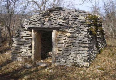
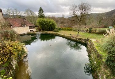
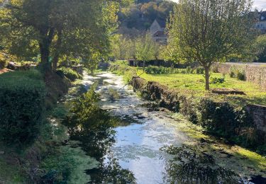
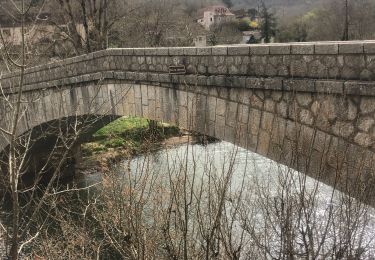
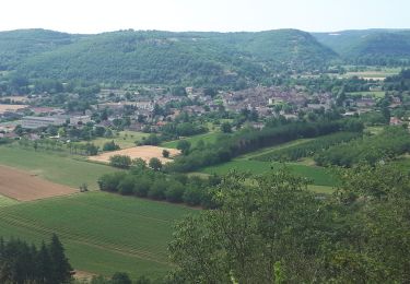
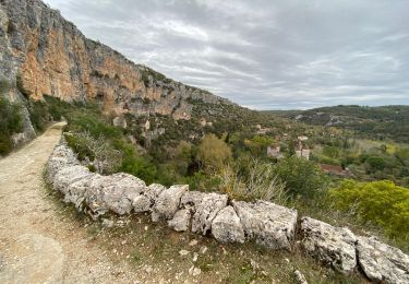
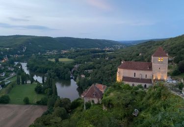
Trail Walking of 14.7 km to be discovered at Occitania, Lot, Larnagol. This trail is proposed by jab31.
Description
Fusion partielle de 3 tracés Visorando "Autour de Larnagol".
Positioning
Country:
France
Region :
Occitania
Department/Province :
Lot
Municipality :
Larnagol
Location:
Unknown
Start:(Dec)
Start:(UTM)
402854 ; 4925391 (31T) N.
Comments
Trails nearby
Cénevières Calvignac - Causse Lotois
Walking
Difficult
(2)
Cénevières,
Occitania,
Lot,
France
5h 15min
Yes
Larnagol le bout du monde
Walking
Very easy
(1)
Larnagol,
Occitania,
Lot,
France
8.6 km | 13 km-effort
3h 9min
Yes
Cenevieres rocher de cornus trou madame
Walking
Very easy
Cénevières,
Occitania,
Lot,
France
12.3 km | 16.7 km-effort
3h 48min
Yes
Sauliac sur céle Cabreret en boucle
Walking
Easy
(1)
Sauliac-sur-Célé,
Occitania,
Lot,
France
19.9 km | 28 km-effort
5h 52min
Yes
Cajarc (Boucle)
Walking
Difficult
Cajarc,
Occitania,
Lot,
France
12.6 km | 17 km-effort
3h 39min
Yes
calvignac cenevieres
Walking
Medium
Calvignac,
Occitania,
Lot,
France
19.4 km | 28 km-effort
5h 29min
Yes
st martin labouval
Walking
Medium
(1)
Saint-Martin-Labouval,
Occitania,
Lot,
France
7.6 km | 11.2 km-effort
2h 28min
Yes
Sauliac Monteils Blars
Walking
Easy
Sauliac-sur-Célé,
Occitania,
Lot,
France
17.1 km | 24 km-effort
4h 21min
Yes
Larnagol à Saint Cirq
Walking
Medium
Larnagol,
Occitania,
Lot,
France
20 km | 30 km-effort
6h 38min
No