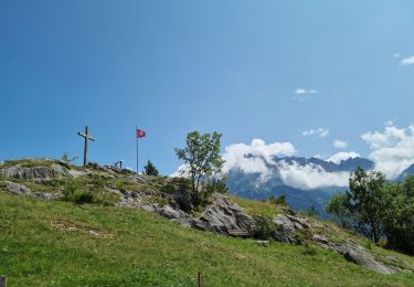
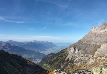
Trail Mountain bike Dorénaz - Dorénaz - Sorniot -Dorénaz - Photo

Dorénaz - Sorniot -Dorénaz

 jokef
jokef

User

© OpenStreetMap contributors
Length
Length
39 km
Max alt
Max alt
2327 m
Uphill gradient
Uphill gradient
2261 m
Km-Effort
Km-Effort  
69 km
Min alt
Min alt
448 m
Downhill gradient
Downhill gradient
2262 m
Boucle
Boucle
Yes
Creation date :
2014-12-11 00:00:00.0
Updated on :
2014-12-11 00:00:00.0

(0 Reviews)

Mountain bike
Mountain bike
5h00
Difficulty : Unknown

Scan this QR Code to open this trail in the SityTrail application

FREE GPS app for hiking

Logo SityTrail SityTrail

IGN / Geographical institutes

Download SityTrail from the App Store Download SityTrail from Google Play

Logo SityTrail SityTrail World

The world is yours!

Download SityTrail from the App Store Download SityTrail from Google Play Download SityTrail on Huawei AppGallery

About

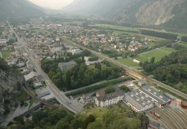
Trail Mountain bike of 39 km to be discovered at Valais/Wallis, Saint-Maurice, Dorénaz. This trail is proposed by jokef.

Description

Montée en cabine depuis Dorénaz. La route goudronnée est sans intérêt et on gagne une bonne heure de grimpette.

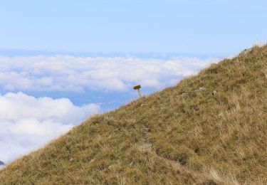
Suivre la route jusqu''à la cabane de Scex Carro pour attraper le chemin à flanc de coteau environ 200m plus haut à gauche. Prendre direction cabane du Demècre, puis direction Portail de Fully. Attention, ça gaze un peu sur le sentier sous le Portail en direction du col de Sorniot. Chute interdite et petit bout à pied conseillé. Idem sous le Chavalard, en direction de l''Erie. Le sentier est de toute beauté avec une vue splendide sur la plaine, mais si vous avez le vertige, ça ne va pas le faire. Attention aussi aux marcheurs qui peuvent être nombreux.

Descente sur Fully par les sentiers du coteau et retour sur Dorénaz en rive gauche.

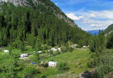
Plus facilement faisable en deux jours avec une nuit à la cabane de Sorniot (www.chavalard.com).

Elevation profile

Positioning

Country:
Switzerland
Region :
Valais/Wallis
Department/Province :
Saint-Maurice
Municipality :
Dorénaz
Location:
Unknown
Start:(UTM)
348984 ; 5112612 (32T) N.

Trails nearby

Trail On foot Martigny - Géoglyphe de Grande Tête - Photo
On foot
GUIDE+

On foot

Easy
Martigny, Valais/Wallis, Martigny, Switzerland
3.8 km | 4.5 km-effort
1h 0min
No
Trail On foot Evionnaz - Chemin pédestre, région Martigny - Photo
On foot
GUIDE+

On foot

Easy
Evionnaz, Valais/Wallis, Saint-Maurice, Switzerland
14.3 km | 17.1 km-effort
3h 52min
No
Trail On foot Salvan - Tour du Vallon de Van - Photo
On foot
GUIDE+

On foot

Easy
Salvan, Valais/Wallis, Saint-Maurice, Switzerland
6.7 km | 11.3 km-effort
2h 34min
Yes
Trail On foot Saint-Maurice - Tour des Dents du Midi - Photo
On foot
GUIDE+

On foot

Very difficult
Saint-Maurice, Valais/Wallis, Saint-Maurice, Switzerland
46 km | 88 km-effort
19h 58min
Yes
Trail Walking Saint-Maurice - Tour des dents du midi - Photo
Walking
GhiJoe

Walking

Medium
Saint-Maurice, Valais/Wallis, Saint-Maurice, Switzerland
59 km | 107 km-effort
23h 39min
Yes
Trail Walking Dorénaz - le Diabley  - Photo
Walking
reneperrin

Walking

Medium
Dorénaz, Valais/Wallis, Saint-Maurice, Switzerland
13.3 km | 31 km-effort
4h 36min
Yes
Trail Walking Salvan - Les gorges à Martigny - Photo
Walking
thierry.berthouze

Walking

Difficult
Salvan, Valais/Wallis, Saint-Maurice, Switzerland
10.5 km | 17.7 km-effort
2h 34min
No
Trail Walking Salvan - Sentier Nature - Rochers du Soir - Photo
Walking
GUIDE+

Walking

Very easy
Salvan, Valais/Wallis, Saint-Maurice, Switzerland
3.6 km | 6 km-effort
Unknown
Yes
Trail Walking Saint-Maurice - Abenteuer-Trek in ein unbekanntes Wallis. Mex - Salanfe (Hotel) - Photo
Walking
GUIDE+

Walking

Very easy
Saint-Maurice, Valais/Wallis, Saint-Maurice, Switzerland
9.4 km | 23 km-effort
Unknown
No


Close
My subscriptions