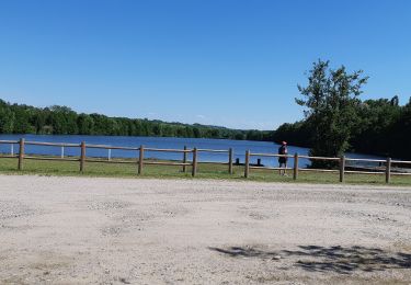
43 km | 50 km-effort
haut de mangonville
zibane54
User
Length
15.4 km
Max alt
367 m
Uphill gradient
299 m
Km-Effort
19.4 km
Min alt
248 m
Downhill gradient
299 m
Boucle
Yes
Creation date :
2020-04-21 08:14:59.061
Updated on :
2020-04-21 08:19:44.124
--
Difficulty : Very easy
FREE GPS app for hiking
About
Trail On foot of 15.4 km to be discovered at Grand Est, Meurthe-et-Moselle, Mangonville. This trail is proposed by zibane54.
Positioning
Country:
France
Region :
Grand Est
Department/Province :
Meurthe-et-Moselle
Municipality :
Mangonville
Location:
Unknown
Start:(Dec)
Start:(UTM)
299523 ; 5370768 (32U) N.
Comments
Trails nearby
Etang Bayon
Walking
Easy
Bayon,
Grand Est,
Meurthe-et-Moselle,
France
3.4 km | 3.6 km-effort
1h 14min
Yes
sortie vtt sion 04082022
Electric bike
Difficult
Bainville-aux-Miroirs,
Grand Est,
Meurthe-et-Moselle,
France
51 km | 62 km-effort
3h 22min
Yes
sortie vtt 08052022 luca
Electric bike
Medium
Bainville-aux-Miroirs,
Grand Est,
Meurthe-et-Moselle,
France
42 km | 50 km-effort
2h 36min
Yes
acpl chez Karine et Danielle froville
Horseback riding
Medium
Froville,
Grand Est,
Meurthe-et-Moselle,
France
21 km | 24 km-effort
3h 11min
Yes
pipistrelle
Walking
Mangonville,
Grand Est,
Meurthe-et-Moselle,
France
9.9 km | 11.9 km-effort
2h 45min
Yes
la saussaie Bayon 10km
Walking
Medium
(1)
Bayon,
Grand Est,
Meurthe-et-Moselle,
France
9.9 km | 11.1 km-effort
2h 36min
Yes
Bayon Charmes
Walking
Medium
Virecourt,
Grand Est,
Meurthe-et-Moselle,
France
22 km | 25 km-effort
4h 56min
No
Roville devant Bayon
Walking
Easy
Roville-devant-Bayon,
Grand Est,
Meurthe-et-Moselle,
France
12.9 km | 15.7 km-effort
3h 25min
Yes