


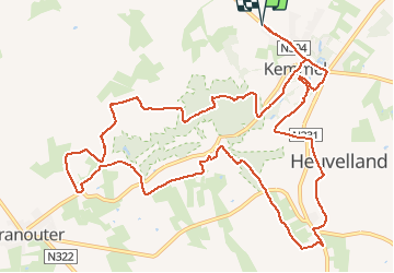

8.7 km | 10.8 km-effort

User


FREE GPS app for hiking
 SityTrail
IGN / Geographical institutes
SityTrail World
The world is yours!
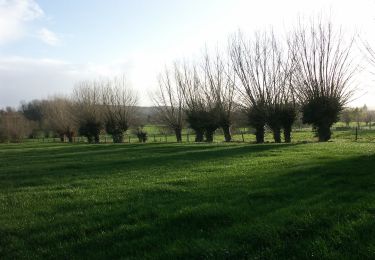
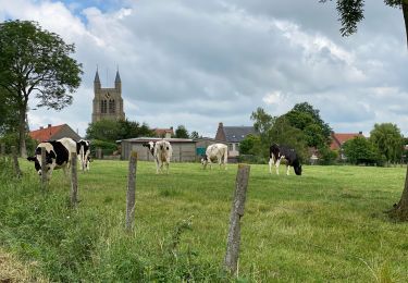
Trail Running of 13.6 km to be discovered at Flanders, West Flanders, Heuvelland. This trail is proposed by jamboxland.
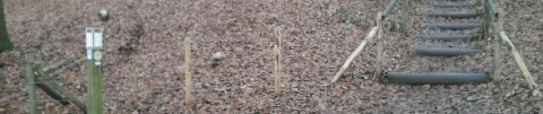
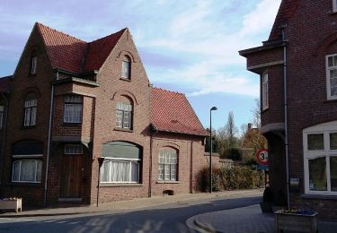
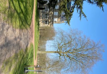
trace réalisé depuis le site tourisme-nord. Très bien balisé. Mélange de sous-bois, route et chemins enherbés. Peut être assez boueux, prévoir de bonnes chaussures !


Walking

On foot

On foot
On foot

Walking
Walking
On foot
Walking

Walking