


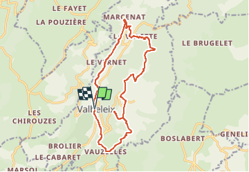

11.9 km | 16.4 km-effort

User GUIDE


FREE GPS app for hiking
 SityTrail
IGN / Geographical institutes
SityTrail World
The world is yours!
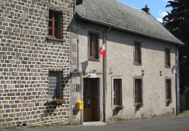
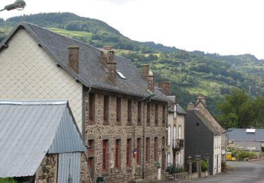
Trail Walking of 15.9 km to be discovered at Auvergne-Rhône-Alpes, Puy-de-Dôme, Valbeleix. This trail is proposed by jagarnier.
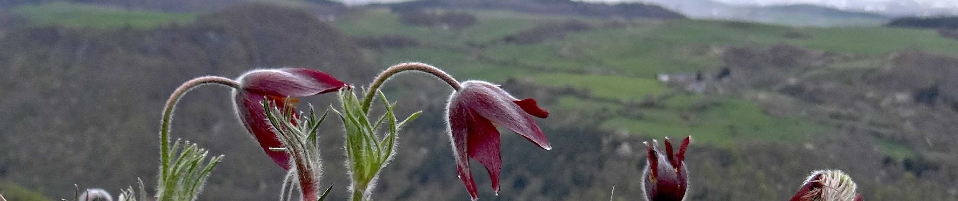
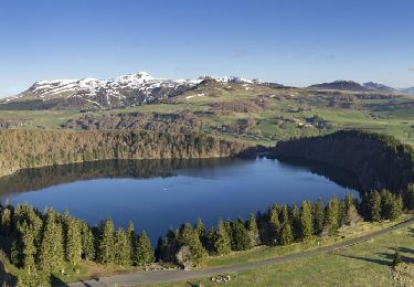
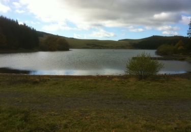
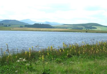
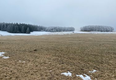
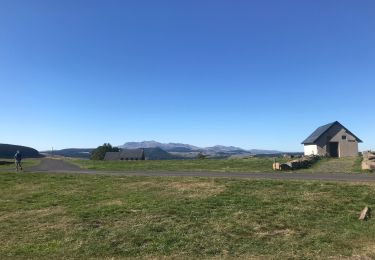
Une longue boucle autour d'une vallée glacière. La Couze de Valbeleix est un mince ruban au fond de cette auge dominée par la Roche Nité. Très beaux panoramas sur le Cézallier, les Monts-Dore et la chaine des Puys.

Walking

Mountain bike
Walking
On foot
On foot
On foot
Walking
Walking
Walking