


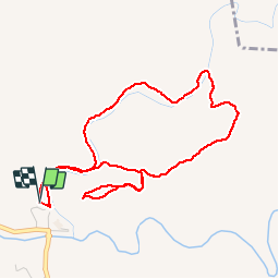


6.6 km | 8.2 km-effort


User


FREE GPS app for hiking
 SityTrail
IGN / Geographical institutes
SityTrail World
The world is yours!
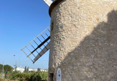
Trail Walking of 5.3 km to be discovered at Provence-Alpes-Côte d'Azur, Bouches-du-Rhône, La Barben. This trail is proposed by jymrando.
Agréable petite rando, avec de beaux points de vue sur les gorges de la Touloubre et le château au retour. Une portion de descente un peu raide.

Other activity

Mountain bike
Other activity

Walking

Mountain bike
Walking
Walking
Walking
Walking