


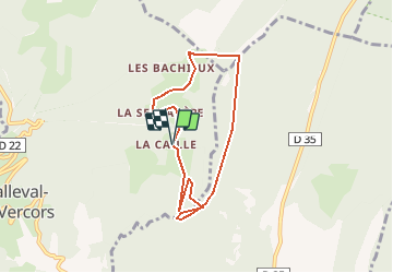


15.8 km | 31 km-effort

User


FREE GPS app for hiking
 SityTrail
IGN / Geographical institutes
SityTrail World
The world is yours!
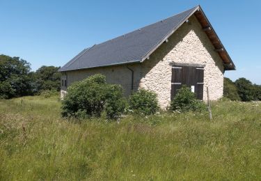
Trail On foot of 6.9 km to be discovered at Auvergne-Rhône-Alpes, Isère, Malleval-en-Vercors. This trail is proposed by crocau.
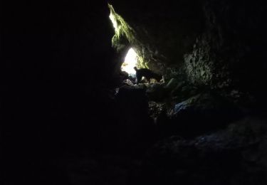
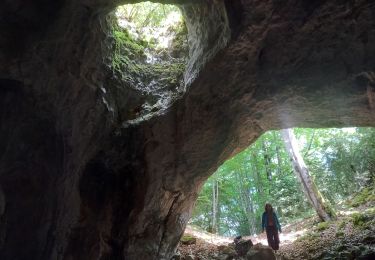
De la Ferme de La Caille, rejoindre le Col de Neurre puis traverser les prés puis les bois sous le Bec (très difficile). Sous le Bec on trouve une sente que l'on crapahute . La vue du Bec est imprenable.
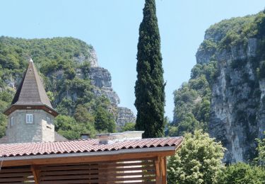
On traverse les bois soit avec l'application , soit on longe les crêtes où l'on trouve un sentier. On rejoint alors le sentier officiel et le Pas du Follet ( joli point de vue) et on redescend à la Ferme.
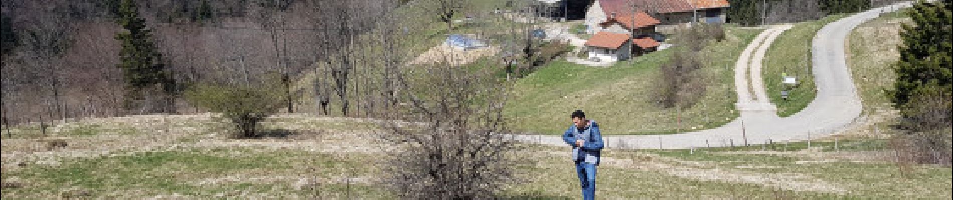
 - Photo 1")
Walking

Walking
Walking
Walking
Walking
Walking
Walking
Walking
Walking