Trail Walking Dormelles - M&R-131210 - Dormelles - Photo

M&R-131210 - Dormelles

 randodan
randodan

User

© OpenStreetMap contributors
Length
Length
16.1 km
Max alt
Max alt
137 m
Uphill gradient
Uphill gradient
233 m
Km-Effort
Km-Effort  
19.3 km
Min alt
Min alt
67 m
Downhill gradient
Downhill gradient
233 m
Boucle
Boucle
Yes
Creation date :
2014-12-10 00:00:00.0
Updated on :
2014-12-10 00:00:00.0

(0 Reviews)

Walking
Walking
4h09
Difficulty : Very easy

Scan this QR Code to open this trail in the SityTrail application

FREE GPS app for hiking

Logo SityTrail SityTrail

IGN / Geographical institutes

Download SityTrail from the App Store Download SityTrail from Google Play

Logo SityTrail SityTrail World

The world is yours!

Download SityTrail from the App Store Download SityTrail from Google Play Download SityTrail on Huawei AppGallery

About

Trail Walking of 16.1 km to be discovered at Ile-de-France, Seine-et-Marne, Dormelles. This trail is proposed by randodan.

Description

Rando Pot-au-Feu à Dormelles avec Marche et Rêve<br>
- 10 décembre 2013 - 1 an moins 1 jour après la 1ère édition.<br>
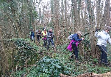
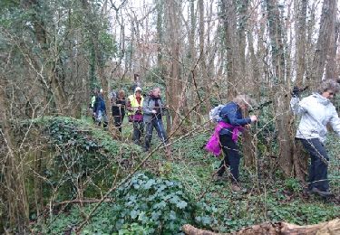
Départ du parking Salle des Fêtes, 9h45 (2 retardataires) . GR de Pays de l´Orvanne jusqu´à la Croix de Ste-Anne, puis traversons la Forêt de la Reine où nous faisons la pause biberon.<br>
Au Bois Perdreau, attiré par les effluves du pot-au-feu, le groupe de tête trouve tout de suite la bonne direction.<br>
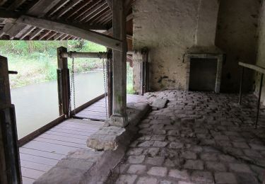
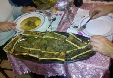
12h40, à l´Auberge du Bocage pour le Pot-au-Feu et son os à moelle.<br>
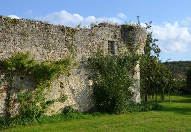
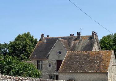
En ressortons à 15h pour une petite boucle digestive jusqu'à la Forteresse de Challeau (XIIe).<br>
Retour par la face nord de Montaigu et le Toboggan . Aux voitures à 16h45.<br>
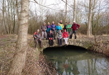
29 1 participants.

Elevation profile

Photos

Positioning

Country:
France
Region :
Ile-de-France
Department/Province :
Seine-et-Marne
Municipality :
Dormelles
Location:
Unknown
Start:(Dec)
Start:(UTM)
492691 ; 5351210 (31U) N.

Trails nearby

Trail On foot Villemer - Maquis de Roys - Photo
On foot
GUIDE+

On foot

Easy
Villemer, Ile-de-France, Seine-et-Marne, France
11.1 km | 13 km-effort
2h 56min
Yes
Trail On foot Ville-Saint-Jacques - Basse vallée de l'Orvanne - Photo
On foot
GUIDE+

On foot

Easy
Ville-Saint-Jacques, Ile-de-France, Seine-et-Marne, France
16 km | 19.1 km-effort
4h 20min
Yes
Trail Nordic walking Villecerf - Autour de villecerf - Photo
Nordic walking
joelinou

Nordic walking

(1)
Villecerf, Ile-de-France, Seine-et-Marne, France
19.9 km | 23 km-effort
5h 12min
Yes
Trail Walking Thoury-Férottes - 180111 EnCours - Photo
Walking
MarcheEtReve

Walking

Very easy
Thoury-Férottes, Ile-de-France, Seine-et-Marne, France
16.7 km | 19.7 km-effort
5h 20min
Yes
Trail Walking Thoury-Férottes - Manu-170218 - Thoury-Dormelles - Photo
Walking
randodan

Walking

Easy
Thoury-Férottes, Ile-de-France, Seine-et-Marne, France
15.8 km | 18.8 km-effort
4h 45min
Yes
Trail Walking Dormelles - M&R-141219 - Dormelles - Photo
Walking
randodan

Walking

Easy
Dormelles, Ile-de-France, Seine-et-Marne, France
10.9 km | 12.7 km-effort
3h 0min
Yes
Trail Nordic walking Villecerf - Autour de Villecerf  - Photo
Nordic walking
joelinou

Nordic walking

Villecerf, Ile-de-France, Seine-et-Marne, France
19.9 km | 23 km-effort
4h 53min
Yes
Trail Walking Thoury-Férottes - SVG 180111 - Photo
Walking
MarcheEtReve

Walking

Very easy
Thoury-Férottes, Ile-de-France, Seine-et-Marne, France
14.9 km | 17.8 km-effort
7h 20min
No
Trail Walking Thoury-Férottes - RECO Forteresse 161230 - Photo
Walking
randodan

Walking

Very easy
Thoury-Férottes, Ile-de-France, Seine-et-Marne, France
9.2 km | 11.3 km-effort
2h 28min
Yes


Close
My subscriptions