Trail On foot Jaligny-sur-Besbre - Jaligny sur la journée - Photo
© OpenStreetMap contributors
Length
Length
25 km
Max alt
Max alt
402 m
Uphill gradient
Uphill gradient
372 m
Km-Effort
Km-Effort  
30 km
Min alt
Min alt
243 m
Downhill gradient
Downhill gradient
372 m
Boucle
Boucle
Yes
Creation date :
2020-04-02 16:42:27.217
Updated on :
2020-04-02 16:43:14.54

(0 Reviews)

On foot
On foot
--
Difficulty : Easy

Scan this QR Code to open this trail in the SityTrail application

FREE GPS app for hiking

Logo SityTrail SityTrail

IGN / Geographical institutes

Download SityTrail from the App Store Download SityTrail from Google Play

Logo SityTrail SityTrail World

The world is yours!

Download SityTrail from the App Store Download SityTrail from Google Play Download SityTrail on Huawei AppGallery

About

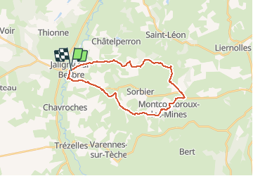
Trail On foot of 25 km to be discovered at Auvergne-Rhône-Alpes, Allier, Jaligny-sur-Besbre. This trail is proposed by Julien03000.

Elevation profile

Positioning

Country:
France
Region :
Auvergne-Rhône-Alpes
Department/Province :
Allier
Municipality :
Jaligny-sur-Besbre
Location:
Unknown
Start:(UTM)
545536 ; 5136370 (31T) N.

Trails nearby

Trail sport Jaligny-sur-Besbre - Grand tour-d-allier - Photo
sport
zefreefly

sport

Very easy
Jaligny-sur-Besbre, Auvergne-Rhône-Alpes, Allier, France
282 km | 351 km-effort
Unknown
Yes


Close
My subscriptions