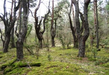
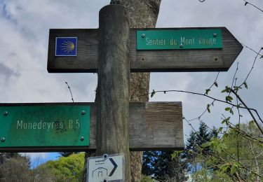
Trail On foot Le Pertuis - Le Pertuis Jorance - Photo
© OpenStreetMap contributors
Length
Length
9.8 km
Max alt
Max alt
1098 m
Uphill gradient
Uphill gradient
354 m
Km-Effort
Km-Effort  
14.5 km
Min alt
Min alt
889 m
Downhill gradient
Downhill gradient
351 m
Boucle
Boucle
Yes
Creation date :
2020-03-30 09:10:43.196
Updated on :
2020-07-26 14:19:45.006

(0 Reviews)

On foot
On foot
--
Difficulty : Easy

Scan this QR Code to open this trail in the SityTrail application

FREE GPS app for hiking

Logo SityTrail SityTrail

IGN / Geographical institutes

Download SityTrail from the App Store Download SityTrail from Google Play

Logo SityTrail SityTrail World

The world is yours!

Download SityTrail from the App Store Download SityTrail from Google Play Download SityTrail on Huawei AppGallery

About

Trail On foot of 9.8 km to be discovered at Auvergne-Rhône-Alpes, Haute-Loire, Le Pertuis. This trail is proposed by marcgiraud.

Elevation profile

Positioning

Country:
France
Region :
Auvergne-Rhône-Alpes
Department/Province :
Haute-Loire
Municipality :
Le Pertuis
Location:
Unknown
Start:(UTM)
583390 ; 4994314 (31T) N.

Trails nearby

Trail sport Le Pertuis - Malrevers retournac - Photo
sport
Vodkakoka

sport

Very easy
(1)
Le Pertuis, Auvergne-Rhône-Alpes, Haute-Loire, France
82 km | 119 km-effort
Unknown
No
Trail Walking Rosières - 2020-02-21 13:18:03 Chronomètre - Photo
Walking
GilGry

Walking

Very difficult
Rosières, Auvergne-Rhône-Alpes, Haute-Loire, France
16.8 km | 26 km-effort
5h 25min
Yes
Trail Walking Saint-Étienne-Lardeyrol - La Huche Plate - Lachaud de Rougeac - Photo
Walking
tracegps

Walking

Medium
Saint-Étienne-Lardeyrol, Auvergne-Rhône-Alpes, Haute-Loire, France
8.9 km | 12.2 km-effort
2h 30min
Yes
Trail Walking Queyrières - Sous le Mounier - Photo
Walking
viam19

Walking

Difficult
Queyrières, Auvergne-Rhône-Alpes, Haute-Loire, France
12.7 km | 18.3 km-effort
6h 25min
Yes
Trail Mountain bike Saint-Étienne-Lardeyrol - St Julien Ch - La Croix de l'étoile - le Meygal - Photo
Mountain bike
marcgiraud

Mountain bike

Very difficult
Saint-Étienne-Lardeyrol, Auvergne-Rhône-Alpes, Haute-Loire, France
46 km | 64 km-effort
4h 25min
Yes
Trail Mountain bike Saint-Étienne-Lardeyrol - St Etienne lardeyrol/ St Julien Chapteuil/ Queyrières - Photo
Mountain bike
Armandjeannot

Mountain bike

Medium
Saint-Étienne-Lardeyrol, Auvergne-Rhône-Alpes, Haute-Loire, France
46 km | 65 km-effort
3h 28min
Yes
Trail Equestrian Saint-Pierre-Eynac - deuxième journée les écrins vert  - Photo
Equestrian
jces

Equestrian

Very easy
Saint-Pierre-Eynac, Auvergne-Rhône-Alpes, Haute-Loire, France
32 km | 45 km-effort
Unknown
No
Trail Mountain bike Saint-Étienne-Lardeyrol - Montferrat 2019  - Photo
Mountain bike
marcgiraud

Mountain bike

Medium
Saint-Étienne-Lardeyrol, Auvergne-Rhône-Alpes, Haute-Loire, France
40 km | 53 km-effort
3h 26min
Yes
Trail Sled dogs Saint-Pierre-Eynac - V2 St Pierre Eynac-Les Estables - Photo
Sled dogs
randolibre

Sled dogs

Very easy
Saint-Pierre-Eynac, Auvergne-Rhône-Alpes, Haute-Loire, France
31 km | 45 km-effort
Unknown
No


Close
My subscriptions