


11.4 km | 17.4 km-effort


User


FREE GPS app for hiking
 SityTrail
IGN / Geographical institutes
SityTrail World
The world is yours!
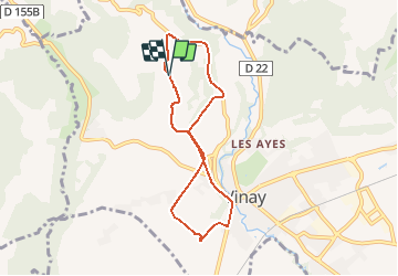
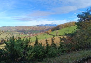
Trail Walking of 6.8 km to be discovered at Auvergne-Rhône-Alpes, Isère, Vinay. This trail is proposed by crocau.
ATTENTION: le point de départ et d'arrivée ne sont pas les bons sur la carte:
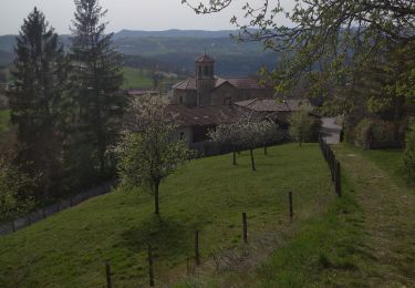
Un sentier jaune part de devant la piscine de Vinay( montée Penet). On arrive sur le plateau de la Blache et on traverse des fermes, la fauvette à tête noire nous accompagne.
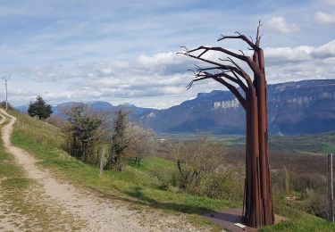
On coupe la route de Varacieux, on rejoint le chemin du Devers et on pointe sur Notre dame de Lozier. On aperçoit d'ailleurs en contre bas la route qui va à Serre Nerpol et le carrefour qui va à Notre Dame de Lozier.
On grimpe jusqu'à L'écurie de Charroi et c'est là que l'on repointe sur Vinay. Petit à petit on regagne un sentier de rando jaune et rouge au dessus du chemin de Devers que l'on prend donc à l'envers pour finir notre 8.
Walking
Road bike
Walking
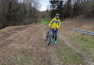
Mountain bike
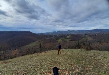
Walking
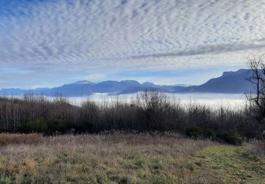
Walking
Walking

Mountain bike
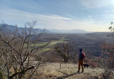
Walking