6.8 km | 8.9 km-effort
Burnontige -Thier -Ferrières
chrlouette
User
Length
4.8 km
Max alt
382 m
Uphill gradient
7 m
Km-Effort
5.4 km
Min alt
231 m
Downhill gradient
151 m
Boucle
No
Creation date :
2020-03-24 15:20:26.651
Updated on :
2020-05-11 09:37:07.593
58m
Difficulty : Very easy
FREE GPS app for hiking
About
Trail Walking of 4.8 km to be discovered at Wallonia, Liège, Ferrières. This trail is proposed by chrlouette.
Description
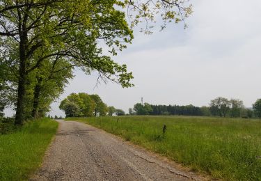
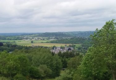
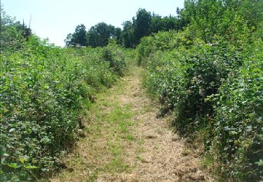
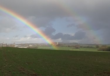
Uniquement de la route. Pas de côtes. Beaux paysages.
Positioning
Country:
Belgium
Region :
Wallonia
Department/Province :
Liège
Municipality :
Ferrières
Location:
Ferrières
Start:(Dec)
Start:(UTM)
687394 ; 5584451 (31U) N.
Comments
Trails nearby
Rouge-Minière. Natura 2000, des sites qui valent le détour ! Lg 3
Walking
Easy
(17)
Ferrières,
Wallonia,
Liège,
Belgium
Unknown
Yes
2021-06-30_10h29m50_Cirkwi-BOIS_DE_HARRE_(Commune_de_MANHAY)
Walking
Medium
(1)
Manhay,
Wallonia,
Luxembourg,
Belgium
13.5 km | 18.9 km-effort
4h 17min
Yes
houssonloge . bois du pouhon . trou de bosson . paradis . houssonloge
Walking
Very easy
(4)
Aywaille,
Wallonia,
Liège,
Belgium
9.1 km | 12.4 km-effort
2h 49min
Yes
Marche ADEPS BURNONTIGE (Ferrieres) 10/04/33
Walking
Medium
(1)
Ferrières,
Wallonia,
Liège,
Belgium
15.4 km | 20 km-effort
3h 2min
Yes
en passant par la chapelle Saint Roch
Walking
Easy
(3)
Ferrières,
Wallonia,
Liège,
Belgium
4.8 km | 5.9 km-effort
58min
Yes
De Ferrières à Harzé
Walking
Medium
(1)
Ferrières,
Wallonia,
Liège,
Belgium
13.6 km | 18.7 km-effort
3h 59min
Yes
De deux Rys à Deux Rys
Walking
Easy
(1)
Manhay,
Wallonia,
Luxembourg,
Belgium
13.8 km | 19.3 km-effort
3h 33min
Yes
Villers
Walking
Medium
(1)
Durbuy,
Wallonia,
Luxembourg,
Belgium
4.7 km | 6.6 km-effort
1h 28min
Yes
Deux boucles d'Izier à Izier 22kms
Walking
Very difficult
(2)
Durbuy,
Wallonia,
Luxembourg,
Belgium
22 km | 28 km-effort
6h 11min
Yes