

VS - Mt-Gond S/Conthey

sterrettaz
User

Length
10.9 km

Max alt
2569 m

Uphill gradient
1238 m

Km-Effort
27 km

Min alt
1321 m

Downhill gradient
1231 m
Boucle
Yes
Creation date :
2014-12-11 00:00:00.0
Updated on :
2014-12-11 00:00:00.0
--
Difficulty : Unknown

FREE GPS app for hiking
About
Trail Other activity of 10.9 km to be discovered at Valais/Wallis, Conthey, Conthey. This trail is proposed by sterrettaz.
Description
Col à l''ouest du Mont Gond,
Superbe point de vue, montée avec Ben G-C.
Superbe descente
PS Le même jour que Jy dans la face N du bec d''Orzival!
Positioning
Country:
Switzerland
Region :
Valais/Wallis
Department/Province :
Conthey
Municipality :
Conthey
Location:
Unknown
Start:(Dec)
Start:(UTM)
368304 ; 5124677 (32T) N.
Comments
Trails nearby
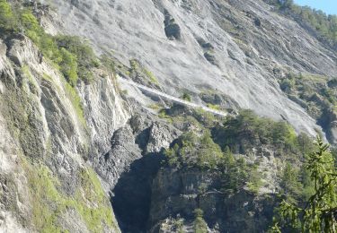
Bisse de Savièse (Torrent-Neuf)


On foot
Easy
Savièse,
Valais/Wallis,
Sion,
Switzerland

4.5 km | 7.4 km-effort
1h 41min
No

Mayen de la Zour-Prabé


Walking
Very easy
(1)
Savièse,
Valais/Wallis,
Sion,
Switzerland

3.8 km | 10.3 km-effort
Unknown
No
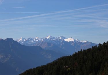
Bisse de la Tsandra


On foot
Easy
Conthey,
Valais/Wallis,
Conthey,
Switzerland

7.4 km | 10.5 km-effort
2h 23min
No
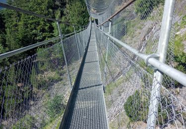
bises de torrent neuf


Walking
Medium
Savièse,
Valais/Wallis,
Sion,
Switzerland

9.9 km | 16 km-effort
4h 12min
Yes
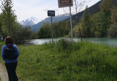
bini


Nordic walking
Very easy
Savièse,
Valais/Wallis,
Sion,
Switzerland

8.9 km | 12.2 km-effort
2h 59min
No

st_bg_conthey


Other activity
Very easy
Conthey,
Valais/Wallis,
Conthey,
Switzerland

22 km | 42 km-effort
9h 21min
No
la standra


Nordic walking
Very easy
Conthey,
Valais/Wallis,
Conthey,
Switzerland

8.2 km | 12 km-effort
2h 41min
Yes

Trajet du 29.10.21


Walking
Very difficult
Conthey,
Valais/Wallis,
Conthey,
Switzerland

19.5 km | 38 km-effort
8h 42min
Yes
bisse du Torrent-Neuf


Walking
Very difficult
Savièse,
Valais/Wallis,
Sion,
Switzerland

12 km | 19.2 km-effort
4h 52min
Yes


 SityTrail


