


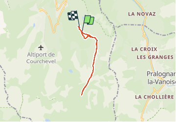

11.4 km | 24 km-effort


User


FREE GPS app for hiking
 SityTrail
IGN / Geographical institutes
SityTrail World
The world is yours!
Trail Walking of 9.9 km to be discovered at Auvergne-Rhône-Alpes, Savoy, Courchevel. This trail is proposed by jpbonnemains.
Magnifique randonnée dans la neige
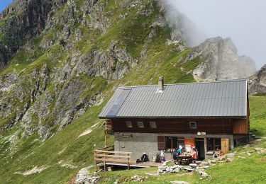
Paysage à couper le souffle
Au pied de la Porteta en direction des chalets de la petite Val
Préférer l’utilisation de raquettes

Walking

Walking

Walking

Walking

Walking
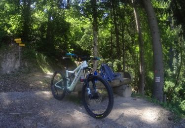
Mountain bike
Walking

Walking
Walking