


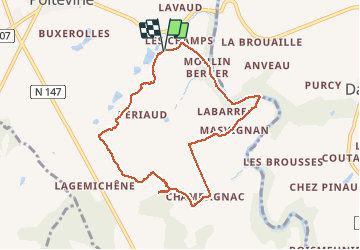

13.1 km | 15 km-effort


User


FREE GPS app for hiking
 SityTrail
IGN / Geographical institutes
SityTrail World
The world is yours!
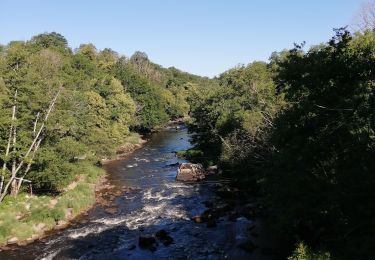
Trail Walking of 8.4 km to be discovered at New Aquitaine, Haute-Vienne, Val-d'Oire-et-Gartempe. This trail is proposed by Arnaud Dejean.

Walking

On foot
Walking


Mountain bike
Walking
Walking
Walking

On foot