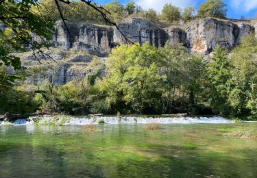
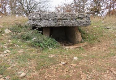
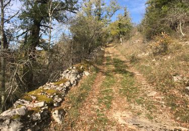
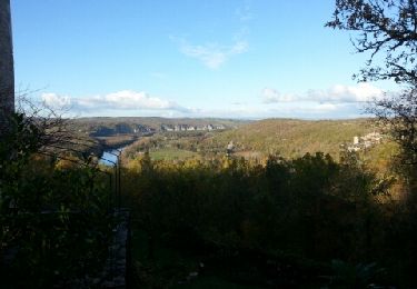
13.7 km | 17.9 km-effort
Balade du 14 03 20; très belle balade aussi et vallée Dordogne
fxhedon
User
Length
14.4 km
Max alt
311 m
Uphill gradient
314 m
Km-Effort
18.6 km
Min alt
106 m
Downhill gradient
315 m
Boucle
Yes
Creation date :
2020-03-14 13:24:16.0
Updated on :
2020-03-14 17:05:49.899
3h40
Difficulty : Unknown
FREE GPS app for hiking
About
Trail Walking of 14.4 km to be discovered at Occitania, Lot, Montvalent. This trail is proposed by fxhedon.
Description
Causse et vallee Dordogne longe le fleuve de
Positioning
Country:
France
Region :
Occitania
Department/Province :
Lot
Municipality :
Montvalent
Location:
Unknown
Start:(Dec)
Start:(UTM)
393014 ; 4971448 (31T) N.
Comments
Trails nearby
Gluges Rocamadour
Electric bike
Easy
Martel,
Occitania,
Lot,
France
53 km | 64 km-effort
4h 22min
Yes
2021-11-20_20h14m14_0ePw2rSfp3MfACzh8d3-Xw
Walking
Medium
(1)
Miers,
Occitania,
Lot,
France
9.6 km | 11.9 km-effort
2h 42min
Yes
autour de Floirac
Walking
Very easy
Floirac,
Occitania,
Lot,
France
16.5 km | 22 km-effort
4h 7min
Yes
le caillon cirque de foirac
Walking
Very easy
Floirac,
Occitania,
Lot,
France
13.5 km | 18.8 km-effort
3h 13min
Yes
Causse toujours
Walking
Difficult
Montvalent,
Occitania,
Lot,
France
17.2 km | 23 km-effort
4h 30min
Yes
Vayrac par Uxelmodunum
Walking
Very easy
Saint-Denis-lès-Martel,
Occitania,
Lot,
France
15.7 km | 18.6 km-effort
3h 46min
Yes