


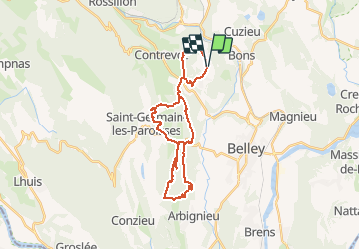

14.6 km | 21 km-effort


User


FREE GPS app for hiking
 SityTrail
IGN / Geographical institutes
SityTrail World
The world is yours!
Trail Mountain bike of 29 km to be discovered at Auvergne-Rhône-Alpes, Ain, Andert-et-Condon. This trail is proposed by sandrine-s01.
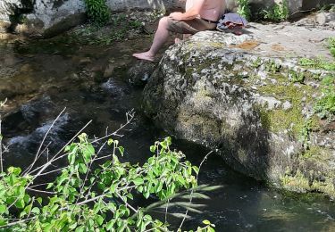
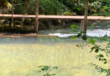
Beaucoup d’eau ça passait pas à deux endroits. Rencontrer un couple de Savoyard qui faisait le parcours de la Rando des lacs, ils m’ont suivis sur le single du 57km vers Thoys.
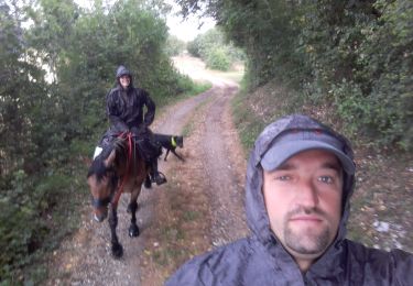
Horseback riding

Mountain bike
Mountain bike
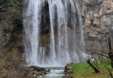
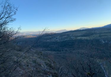
Walking
Mountain bike
Mountain bike

Mountain bike
Walking
Mountain bike