


65 km | 93 km-effort

User


FREE GPS app for hiking
 SityTrail
IGN / Geographical institutes
SityTrail World
The world is yours!
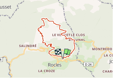
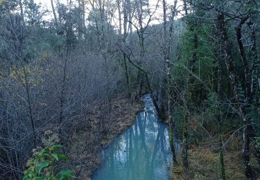
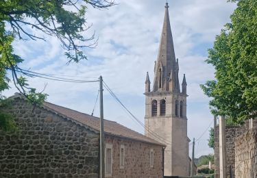
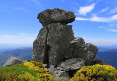
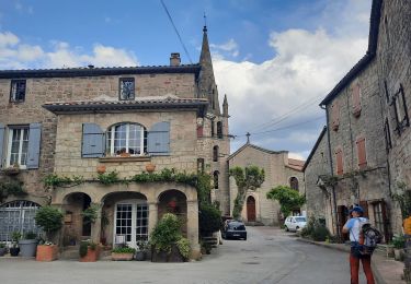
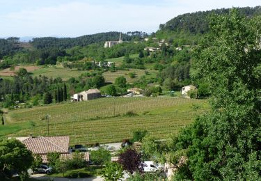
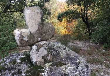
Trail Walking of 8.3 km to be discovered at Auvergne-Rhône-Alpes, Ardèche, Rocles. This trail is proposed by ganinette.
Très belle rando avec un peu de grimpette sans plus et à la porté de toute la famille.
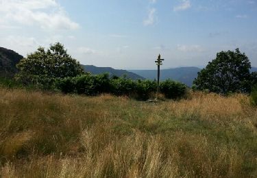
Très beau paysage.


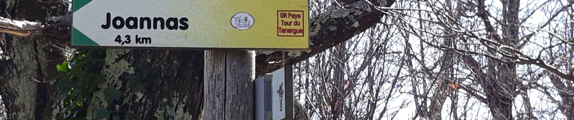
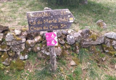
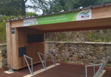
24 photos in total. Please click on a photo to see them all in the gallery.
Mountain bike
Walking
Walking
Road bike
Walking
Walking
Walking
Walking
Walking