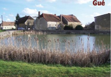
5.1 km | 5.7 km-effort
prusy
richardetchantal
User
Length
14.2 km
Max alt
238 m
Uphill gradient
180 m
Km-Effort
16.6 km
Min alt
155 m
Downhill gradient
180 m
Boucle
Yes
Creation date :
2020-03-13 07:36:36.188
Updated on :
2020-03-13 12:43:00.13
3h38
Difficulty : Very easy
FREE GPS app for hiking
About
Trail Walking of 14.2 km to be discovered at Grand Est, Aube, Prusy. This trail is proposed by richardetchantal.
Description
rando humide
Positioning
Country:
France
Region :
Grand Est
Department/Province :
Aube
Municipality :
Prusy
Location:
Unknown
Start:(Dec)
Start:(UTM)
578169 ; 5313984 (31T) N.
Comments
Trails nearby
Circuit des Dagoniots - Coussegrey
Walking
Difficult
Coussegrey,
Grand Est,
Aube,
France
12.7 km | 15.2 km-effort
3h 10min
Yes
Coussegrey 20km le 03.12.2023
Walking
Medium
Coussegrey,
Grand Est,
Aube,
France
20 km | 25 km-effort
4h 32min
Yes
Coussegrey 24
Walking
Medium
Coussegrey,
Grand Est,
Aube,
France
15.6 km | 19.8 km-effort
3h 2min
Yes
coussegrey 50 ème
Walking
Difficult
Coussegrey,
Grand Est,
Aube,
France
10.7 km | 12.9 km-effort
2h 20min
Yes
cussangy avril 24
Walking
Medium
Cussangy,
Grand Est,
Aube,
France
13.6 km | 15.6 km-effort
3h 11min
Yes
Coussegrey 03/2024
Walking
Very difficult
Coussegrey,
Grand Est,
Aube,
France
24 km | 28 km-effort
6h 3min
Yes