


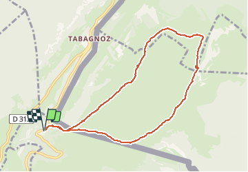


6.6 km | 12.5 km-effort

User


FREE GPS app for hiking
 SityTrail
IGN / Geographical institutes
SityTrail World
The world is yours!
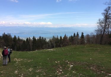
Trail Snowshoes of 9.1 km to be discovered at Auvergne-Rhône-Alpes, Ain, Divonne-les-Bains. This trail is proposed by janussity.
Beau temps toute la journée.
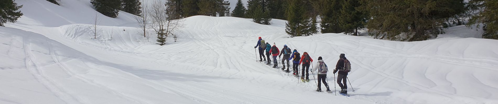
Groupe Charnay Loisirs 16 personnes Gérard


32 photos in total. Please click on a photo to see them all in the gallery.

Walking
On foot

Walking
Walking
Walking
Bicycle tourism
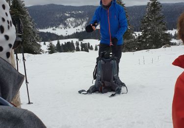
Snowshoes
Walking
Walking