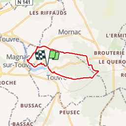

8.1 km | 9.7 km-effort


User


FREE GPS app for hiking
 SityTrail
IGN / Geographical institutes
SityTrail World
The world is yours!
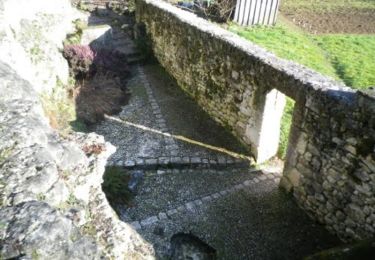
Trail Walking of 10.1 km to be discovered at New Aquitaine, Charente, Touvre. This trail is proposed by alainjoseph6.
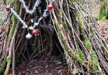
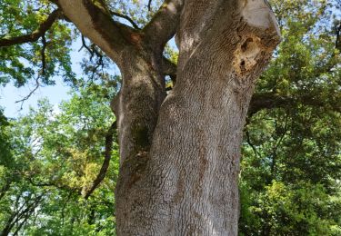
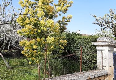
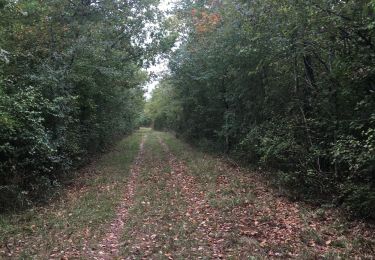
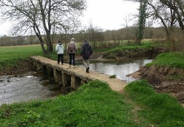
Au départ des sources de la Touvre avec la visite de la magnifique petite église de Touvre en passant par le lac Coquet puis la découverte d'une partie de la forêt de bois blanc..
Walking
Walking
Walking

Walking
Walking
Walking
Walking
Mountain bike