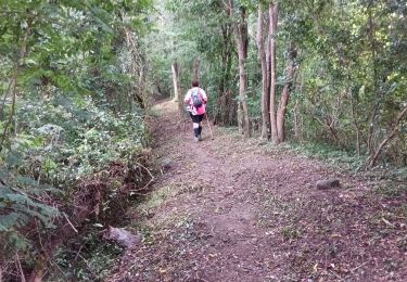
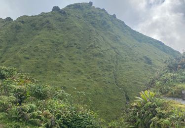
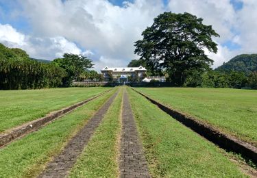
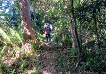
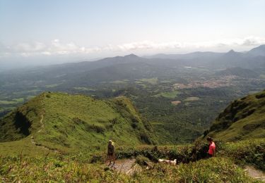
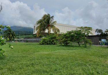
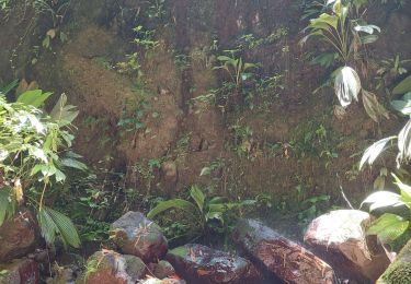
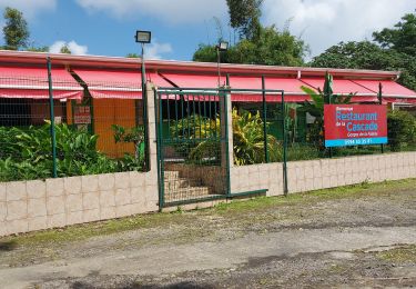
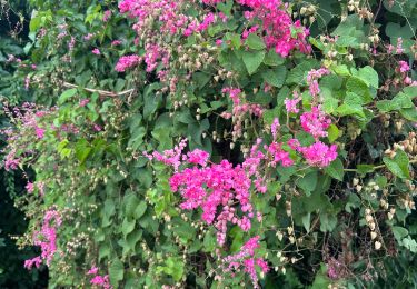
Trail Walking Saint-Pierre - 2020-03-07_07h01m03_sources-chaudes-de-la-pelee - Photo

2020-03-07_07h01m03_sources-chaudes-de-la-pelee

 Jeffo972
Jeffo972

User

© OpenStreetMap contributors
Length
Length
9.8 km
Max alt
Max alt
633 m
Uphill gradient
Uphill gradient
588 m
Km-Effort
Km-Effort  
17.7 km
Min alt
Min alt
27 m
Downhill gradient
Downhill gradient
588 m
Boucle
Boucle
Yes
Creation date :
2020-03-07 11:01:03.711
Updated on :
2020-03-22 13:47:18.742

(0 Reviews)

Walking
Walking
3h34
Difficulty : Difficult

Scan this QR Code to open this trail in the SityTrail application

FREE GPS app for hiking

Logo SityTrail SityTrail

IGN / Geographical institutes

Download SityTrail from the App Store Download SityTrail from Google Play

Logo SityTrail SityTrail World

The world is yours!

Download SityTrail from the App Store Download SityTrail from Google Play Download SityTrail on Huawei AppGallery

About

Trail Walking of 9.8 km to be discovered at Martinique, Unknown, Saint-Pierre. This trail is proposed by Jeffo972.
Elevation profile

Positioning

Country:
France
Region :
Martinique
Department/Province :
Unknown
Municipality :
Saint-Pierre
Location:
Unknown
Start:(UTM)
694183 ; 1633289 (20P) N.

Comments

Please log in to post a review or rate the element


Possible mais déconseillé... La randonnée est difficile et l'endroit totalement isolé. Il est possible de se perdre ou de se blesser.


Est-ce possible de faire cette randonnée seul ?


Trails nearby

Trail Walking Le Prêcheur - Sentier Martineaud  Le Prêcheur - Photo
Walking
GUIDE
Lamartiniere

Walking

Medium
Le Prêcheur, Martinique, Unknown, France
4.4 km | 11.2 km-effort
2h 10min
No
Trail Walking L'Ajoupa-Bouillon - Montagne pelée  - Photo
Walking
GUIDE
Alizée.pee

Walking

Difficult
L'Ajoupa-Bouillon, Martinique, Unknown, France
7.5 km | 16.5 km-effort
6h 2min
Yes
Trail Walking Le Prêcheur - Sentier Martineaud - Photo
Walking
GUIDE
Lamartiniere

Walking

Medium
Le Prêcheur, Martinique, Unknown, France
9.8 km | 0 m-effort
3h 45min
Yes
Trail Walking L'Ajoupa-Bouillon - Montagne Pelée - Photo
Walking
GUIDE
David25400

Walking

Medium
(1)
L'Ajoupa-Bouillon, Martinique, Unknown, France
7.8 km | 16.8 km-effort
4h 49min
Yes
Trail Walking Saint-Pierre - Boucle CDST via distillerie La Montagne - Photo
Walking
GUIDE
Lamartiniere

Walking

Medium
Saint-Pierre, Martinique, Unknown, France
6 km | 8.4 km-effort
2h 0min
Yes
Trail Trail Saint-Pierre - chute des rois St Pierre - Photo
Trail
chichine

Trail

Difficult
Saint-Pierre, Martinique, Unknown, France
5.8 km | 10.1 km-effort
3h 4min
Yes
Trail Walking L'Ajoupa-Bouillon - Refuge Aileron - Gorges de La Falaise - Photo
Walking
GUIDE
Lamartiniere

Walking

Easy
L'Ajoupa-Bouillon, Martinique, Unknown, France
3.7 km | 5.1 km-effort
1h 10min
No
Trail Walking Saint-Pierre - Boucle CDST - Distillerie Depaz - Photo
Walking
GUIDE
Lamartiniere

Walking

Easy
Saint-Pierre, Martinique, Unknown, France
4.7 km | 6.1 km-effort
1h 59min
Yes
Trail Walking Saint-Pierre - Prêcheurs  ailerons pellée le chinois  - Photo
Walking
sameja

Walking

Very difficult
Saint-Pierre, Martinique, Unknown, France
17.4 km | 35 km-effort
8h 4min
No


Close
My subscriptions