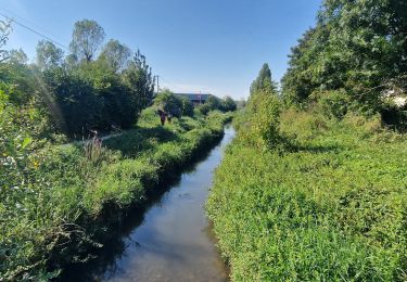
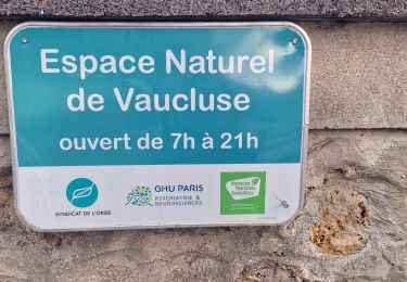
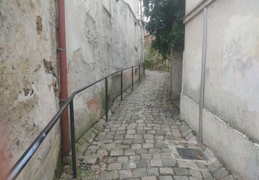
14.8 km | 17 km-effort
viry vert le petit viry
Pirrovani
User
Length
63 km
Max alt
96 m
Uphill gradient
431 m
Km-Effort
69 km
Min alt
44 m
Downhill gradient
431 m
Boucle
Yes
Creation date :
2020-03-06 14:13:48.501
Updated on :
2020-03-06 14:14:30.524
--
Difficulty : Very easy
FREE GPS app for hiking
About
Trail Cycle of 63 km to be discovered at Ile-de-France, Essonne, Viry-Châtillon. This trail is proposed by Pirrovani.
Positioning
Country:
France
Region :
Ile-de-France
Department/Province :
Essonne
Municipality :
Viry-Châtillon
Location:
Unknown
Start:(Dec)
Start:(UTM)
453552 ; 5389656 (31U) N.
Comments
Trails nearby
Boucle 23 km autour de Longjumeau
Walking
Medium
Longjumeau,
Ile-de-France,
Essonne,
France
23 km | 27 km-effort
4h 48min
Yes
Port aux Cerises - Ablon 21 km
Walking
Very difficult
(1)
Draveil,
Ile-de-France,
Essonne,
France
22 km | 25 km-effort
4h 51min
Yes
Boucle 20 km Morsang sur Orge
On foot
Easy
Morsang-sur-Orge,
Ile-de-France,
Essonne,
France
20 km | 22 km-effort
5h 6min
Yes
Senart
Mountain bike
Very difficult
(1)
Bondoufle,
Ile-de-France,
Essonne,
France
46 km | 52 km-effort
3h 30min
Yes
Sortie club du 29/09/2019
Mountain bike
Difficult
(1)
Bondoufle,
Ile-de-France,
Essonne,
France
32 km | 36 km-effort
2h 25min
Yes
Fleury-Mérogis - Forêt Régionale de Saint-Eutrope
Walking
Easy
Fleury-Mérogis,
Ile-de-France,
Essonne,
France
6.3 km | 7 km-effort
1h 35min
Yes
Le pont des templiers
Walking
Medium
Longjumeau,
Ile-de-France,
Essonne,
France
15.4 km | 17.2 km-effort
3h 56min
Yes
La rivière morte
Walking
Medium
Longjumeau,
Ile-de-France,
Essonne,
France
14.8 km | 16.8 km-effort
3h 49min
No