


6.7 km | 9.7 km-effort


User


FREE GPS app for hiking
 SityTrail
IGN / Geographical institutes
SityTrail World
The world is yours!
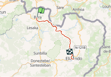
Trail Walking of 30 km to be discovered at Navarre, Unknown, Bera. This trail is proposed by phelan.
Distance/elevation: 29,6 km / ( 1.260 m), (-1.140 m)
Time 7h55min (walking time without stops).
Difficulty: A long stage with a lot of elevation gain and loss. The route is waymarked perfectly.
Water: One kilometre from Bera. On the way to Usateguieta you cross over a small river. The Inn at Lizarrieta.

Walking
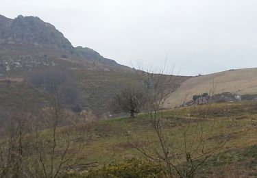
Walking
Walking
Walking
Walking

Walking
Snowshoes

Walking
Walking