21 km | 24 km-effort
sortie 1 heure sec iton
minichou
User
Length
12.7 km
Max alt
148 m
Uphill gradient
227 m
Km-Effort
15.7 km
Min alt
86 m
Downhill gradient
231 m
Boucle
Yes
Creation date :
2014-12-10 00:00:00.0
Updated on :
2014-12-10 00:00:00.0
1h09
Difficulty : Unknown
FREE GPS app for hiking
About
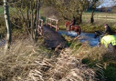
Trail Equestrian of 12.7 km to be discovered at Normandy, Eure, La Croisille. This trail is proposed by minichou.
Description
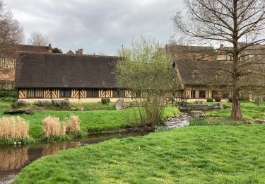
bord du sec iton
Positioning
Country:
France
Region :
Normandy
Department/Province :
Eure
Municipality :
La Croisille
Location:
Unknown
Start:(Dec)
Start:(UTM)
352128 ; 5426663 (31U) N.
Comments
Trails nearby
conches
Walking
Very easy
(1)
Conches-en-Ouche,
Normandy,
Eure,
France
13.9 km | 16.6 km-effort
Unknown
Yes
La vallée de rouloir
Walking
Easy
Conches-en-Ouche,
Normandy,
Eure,
France
11.6 km | 13.8 km-effort
3h 23min
Yes
Aller simple Gaudreville - Conches
Walking
Medium
Gaudreville-la-Rivière,
Normandy,
Eure,
France
11.9 km | 14.6 km-effort
3h 7min
No
Conches en Ouche
On foot
Easy
Conches-en-Ouche,
Normandy,
Eure,
France
21 km | 25 km-effort
Unknown
Yes
conches-ferrière sur risles
Mountain bike
Easy
Conches-en-Ouche,
Normandy,
Eure,
France
47 km | 53 km-effort
3h 26min
Yes
conches-ferrière sur risles
Mountain bike
Easy
Conches-en-Ouche,
Normandy,
Eure,
France
47 km | 53 km-effort
3h 26min
Yes
les boscherons
Equestrian
Easy
La Croisille,
Normandy,
Eure,
France
18 km | 22 km-effort
2h 22min
Yes
Conches en Ouche, Chanteloup, Collandres,vieux Conches 24 kms
Walking
Very difficult
Conches-en-Ouche,
Normandy,
Eure,
France
24 km | 27 km-effort
6h 7min
Yes