


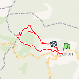


7.9 km | 15 km-effort

User


FREE GPS app for hiking
 SityTrail
IGN / Geographical institutes
SityTrail World
The world is yours!
Trail Walking of 7.7 km to be discovered at Provence-Alpes-Côte d'Azur, Maritime Alps, Toudon. This trail is proposed by franquen.
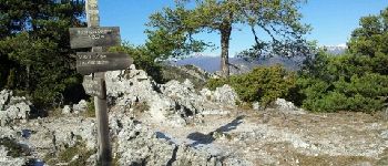
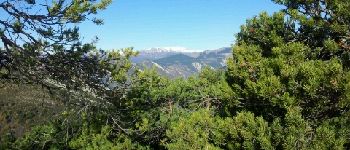
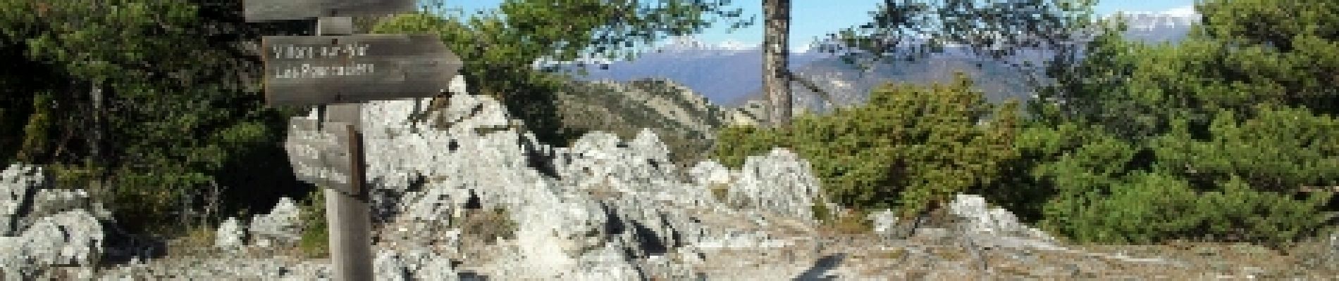
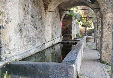
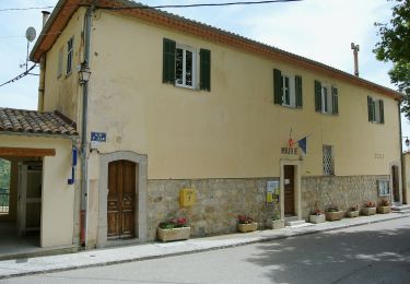
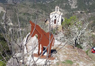
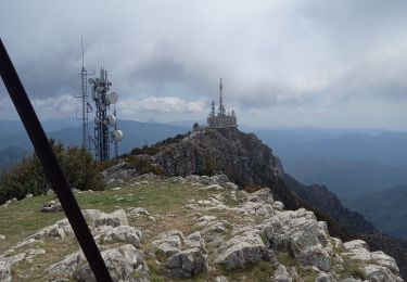
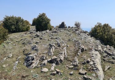
départ du lavoir de Toudon pour une boucle de 3h30 environ, le plus souvent côté sud avec un panorama splendide sur les cimes enneigées du Cheiron puis du Mercantour. notamment à la cime des Colettes avec un 360° magnifique.


Walking
On foot
Walking
Walking
Walking
Walking

On foot
Walking

Walking
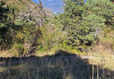
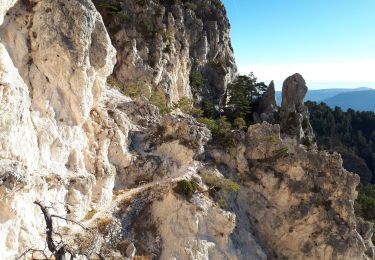
BonjourBelle balade de 1/2 saison, assez alternative ( forêt champs maquis etc). 1 partie en ubac (côté vallée du Var) donc neige persistante au printemps.