


20 km | 34 km-effort


User


FREE GPS app for hiking
 SityTrail
IGN / Geographical institutes
SityTrail World
The world is yours!
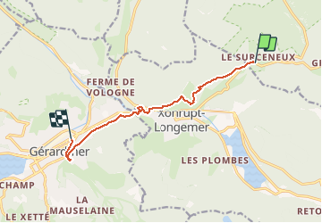
Trail Walking of 8.7 km to be discovered at Grand Est, Vosges, Ban-sur-Meurthe-Clefcy. This trail is proposed by surceneux.
par les sentiers le possible ➕BLEU Anneau bleu disque bleu
BEHEUILLE ROCHE DU PAGE SAUT DES CUVES RIVE GAUCHE VOLOGNE CHEMIN GOURIER ROCHIRES SUPERU

Walking

Walking

Walking

Walking

Walking

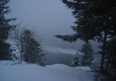
Snowshoes

Walking

Walking
Snowshoes