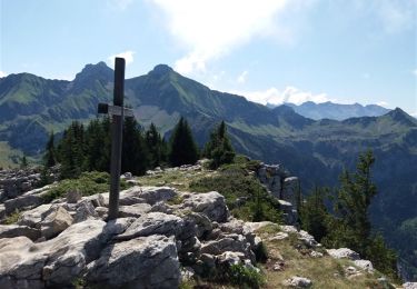
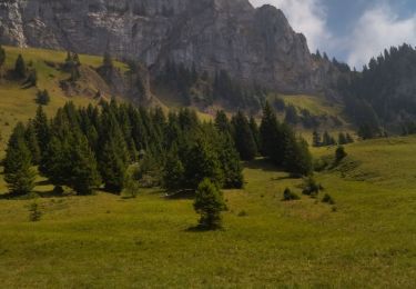
9.7 km | 15.3 km-effort
les sambuis
Bugeat
User
Length
7.9 km
Max alt
1800 m
Uphill gradient
738 m
Km-Effort
17.7 km
Min alt
1053 m
Downhill gradient
740 m
Boucle
Yes
Creation date :
2020-02-25 09:19:52.436
Updated on :
2020-02-25 16:55:06.434
2h37
Difficulty : Easy
FREE GPS app for hiking
About
Trail Walking of 7.9 km to be discovered at Auvergne-Rhône-Alpes, Upper Savoy, Glières-Val-de-Borne. This trail is proposed by Bugeat .
Description
sans raquettes
Positioning
Country:
France
Region :
Auvergne-Rhône-Alpes
Department/Province :
Upper Savoy
Municipality :
Glières-Val-de-Borne
Location:
Le Petit-Bornand-les-Glières
Start:(Dec)
Start:(UTM)
296824 ; 5100402 (32T) N.
Comments
Trails nearby
BARGY: ROCHERS DE LESCHAUX AU DEPART DE CENISE
Walking
Medium
(1)
Glières-Val-de-Borne,
Auvergne-Rhône-Alpes,
Upper Savoy,
France
3h 30min
Yes
74 roche parnal 05.08.2022
Walking
Medium
La Roche-sur-Foron,
Auvergne-Rhône-Alpes,
Upper Savoy,
France
9.5 km | 20 km-effort
6h 23min
Yes
Tour du Jallouvre par le lac de Lessy
Touring skiing
Difficult
Glières-Val-de-Borne,
Auvergne-Rhône-Alpes,
Upper Savoy,
France
14.3 km | 37 km-effort
6h 39min
Yes
col du rasoir combe NW ET Sud
Touring skiing
Medium
Glières-Val-de-Borne,
Auvergne-Rhône-Alpes,
Upper Savoy,
France
11.1 km | 29 km-effort
5h 2min
Yes
sur cou par a grotte face ouest
Walking
Difficult
La Roche-sur-Foron,
Auvergne-Rhône-Alpes,
Upper Savoy,
France
7 km | 16 km-effort
4h 29min
Yes
Petit Bornand - Pointe d'Andey 29/07/2018
Walking
Difficult
Glières-Val-de-Borne,
Auvergne-Rhône-Alpes,
Upper Savoy,
France
12.6 km | 27 km-effort
5h 45min
Yes
Tour de Sur Cou
Walking
Medium
(1)
La Roche-sur-Foron,
Auvergne-Rhône-Alpes,
Upper Savoy,
France
6.9 km | 15.1 km-effort
3h 0min
Yes
sur cou
Walking
Easy
(1)
La Roche-sur-Foron,
Auvergne-Rhône-Alpes,
Upper Savoy,
France
3.4 km | 7.8 km-effort
1h 19min
No
BARGY: LAC DE LESSY
Walking
Medium
Glières-Val-de-Borne,
Auvergne-Rhône-Alpes,
Upper Savoy,
France
15.2 km | 27 km-effort
6h 4min
Yes