


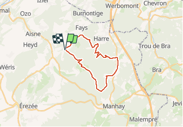

8.1 km | 10.8 km-effort

User GUIDE


FREE GPS app for hiking
 SityTrail
IGN / Geographical institutes
SityTrail World
The world is yours!
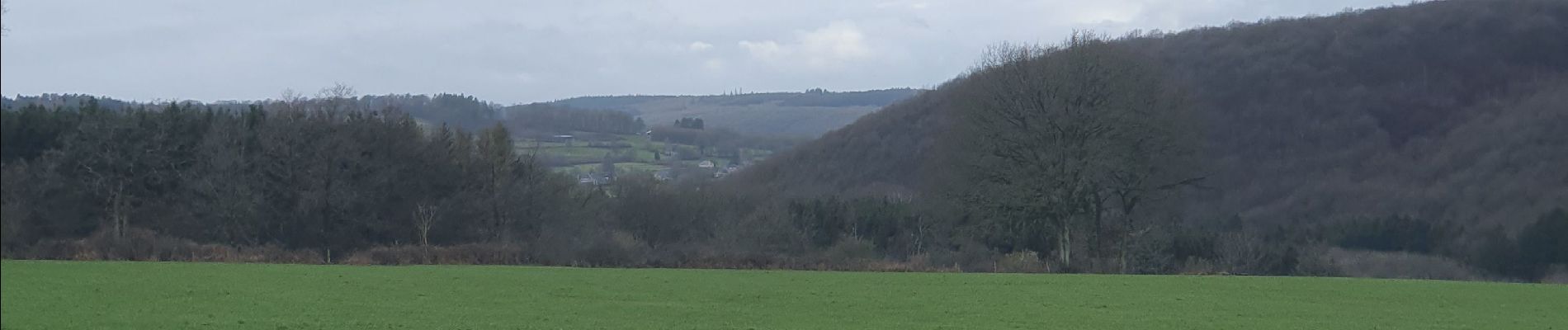
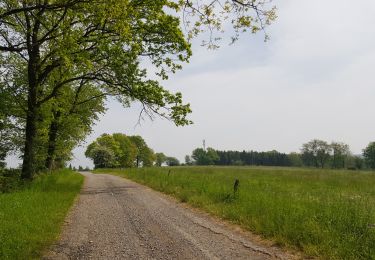
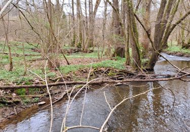
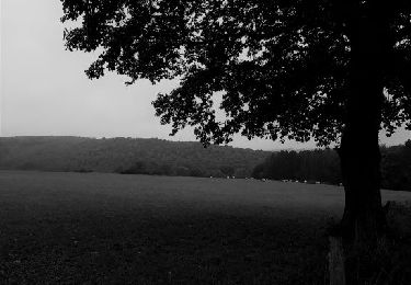
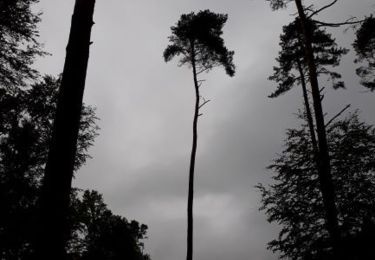
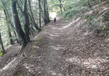
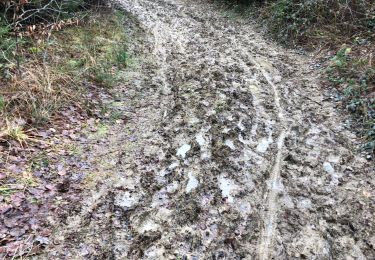
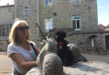
Trail Walking of 21 km to be discovered at Wallonia, Luxembourg, Manhay. This trail is proposed by japy54.
belle randonnée malheureusement nous avons dû emprunter 4km de petite route a la fin pour éviter les chemins privés surveillés par caméra !!!!incroyable mais vrai


Walking

Walking
Walking
Walking
Walking
Walking
Walking
Walking
Walking