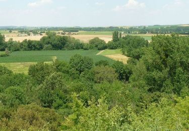
21 km | 25 km-effort
St yreix24020
andré David
User
Length
10.6 km
Max alt
96 m
Uphill gradient
132 m
Km-Effort
12.4 km
Min alt
26 m
Downhill gradient
132 m
Boucle
Yes
Creation date :
2020-02-24 12:53:12.319
Updated on :
2020-02-24 15:42:40.667
2h48
Difficulty : Very easy
FREE GPS app for hiking
About
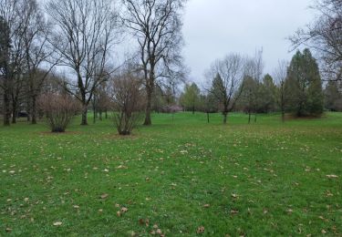
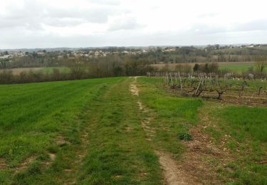
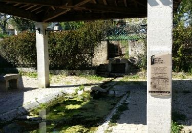
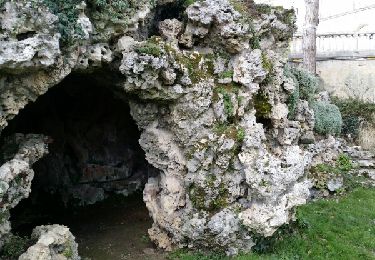
Trail Walking of 10.6 km to be discovered at New Aquitaine, Charente, Saint-Yrieix-sur-Charente. This trail is proposed by andré David.
Positioning
Country:
France
Region :
New Aquitaine
Department/Province :
Charente
Municipality :
Saint-Yrieix-sur-Charente
Location:
Unknown
Start:(Dec)
Start:(UTM)
276444 ; 5062048 (31T) N.
Comments
Trails nearby
La Coulée Verte à Angoulème
Walking
Medium
(1)
Angoulême,
New Aquitaine,
Charente,
France
3h 0min
Yes
Rando-ballade le long de la Charente au départ de Fléac
Walking
Easy
Fléac,
New Aquitaine,
Charente,
France
10 km | 11.5 km-effort
2h 26min
Yes
La rando d'Angoulême entre ville et campagne
Walking
Medium
Angoulême,
New Aquitaine,
Charente,
France
8.1 km | 9.9 km-effort
2h 59min
Yes
La randonnée sandwich entre la LGV et la RN10
Walking
Very easy
Champniers,
New Aquitaine,
Charente,
France
7.7 km | 9.7 km-effort
2h 25min
Yes
La découverte d'Angoulême en partant du parc de Fregneuil
Walking
Easy
Angoulême,
New Aquitaine,
Charente,
France
8.9 km | 10.5 km-effort
2h 58min
Yes
Les écluses de Fléac et Linars
Walking
Very easy
Fléac,
New Aquitaine,
Charente,
France
10.1 km | 11.4 km-effort
2h 30min
Yes
De saint Cybard à Fléac
Walking
Very easy
Angoulême,
New Aquitaine,
Charente,
France
11.4 km | 13.5 km-effort
2h 55min
No
La Chignolle 50 - Champniers
Mountain bike
Difficult
Champniers,
New Aquitaine,
Charente,
France
50 km | 61 km-effort
3h 0min
Yes
Angoulême -Cognac 11/09/22
Electric bike
Easy
Angoulême,
New Aquitaine,
Charente,
France
68 km | 74 km-effort
4h 54min
No