Trail Walking Ur - Au-dessus de Ur - Photo
© OpenStreetMap contributors
Length
Length
14.3 km
Max alt
Max alt
1638 m
Uphill gradient
Uphill gradient
525 m
Km-Effort
Km-Effort  
21 km
Min alt
Min alt
1202 m
Downhill gradient
Downhill gradient
546 m
Boucle
Boucle
Yes
Creation date :
2020-02-22 07:16:48.539
Updated on :
2020-02-22 13:20:02.032

(0 Reviews)

Walking
Walking
5h31
Difficulty : Medium

Scan this QR Code to open this trail in the SityTrail application

FREE GPS app for hiking

Logo SityTrail SityTrail

IGN / Geographical institutes

Download SityTrail from the App Store Download SityTrail from Google Play

Logo SityTrail SityTrail World

The world is yours!

Download SityTrail from the App Store Download SityTrail from Google Play Download SityTrail on Huawei AppGallery

About

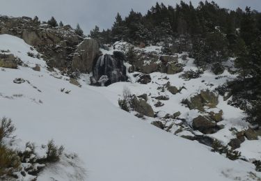
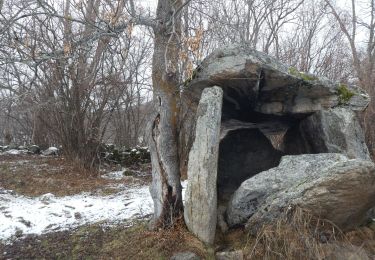
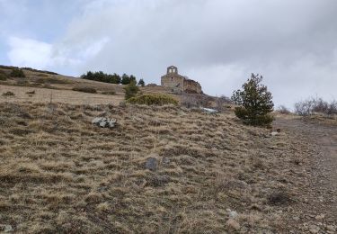
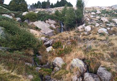
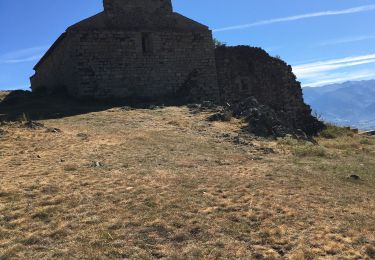
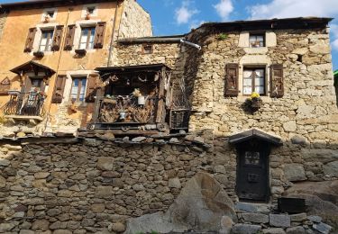
Trail Walking of 14.3 km to be discovered at Occitania, Pyrénées-Orientales, Ur. This trail is proposed by rene091957.

Description

Ur, col de Joëlle, Brangoly, fanes, Enveitg (Ampardines), Ur.

Elevation profile

Positioning

Country:
France
Region :
Occitania
Department/Province :
Pyrénées-Orientales
Municipality :
Ur
Location:
Unknown
Start:(UTM)
412535 ; 4701861 (31T) N.

Trails nearby

Trail Walking Ur - de Ur vers La Chapelle de Belloc - Photo
Walking
ThonyM

Walking

Easy
(1)
Ur, Occitania, Pyrénées-Orientales, France
20 km | 28 km-effort
7h 14min
Yes
Trail Walking Nahuja - boucle de Nahuja - Photo
Walking
crijack

Walking

Medium
(1)
Nahuja, Occitania, Pyrénées-Orientales, France
11.8 km | 18.2 km-effort
2h 44min
Yes
Trail Walking Estavar - 20220328 Estavar-Tartassonne(?) - Photo
Walking
ThonyM

Walking

Medium
Estavar, Occitania, Pyrénées-Orientales, France
14.8 km | 22 km-effort
3h 16min
Yes
Trail Snowshoes Dorres - 2021-02-10 Sortie CAF - Port de Maurà depuis Dorres - Photo
Snowshoes
eric.mignot

Snowshoes

Difficult
Dorres, Occitania, Pyrénées-Orientales, France
17.9 km | 31 km-effort
9h 0min
Yes
Trail Walking Dorres - 2021-02-09  Sortie  CAF - Dorres - Chapelle de Belloc - Dolmen de Brangoli - Photo
Walking
eric.mignot

Walking

Easy
Dorres, Occitania, Pyrénées-Orientales, France
13 km | 19.3 km-effort
5h 0min
Yes
Trail Walking Dorres - d'ores 2 - Photo
Walking
jpipacific

Walking

Medium
Dorres, Occitania, Pyrénées-Orientales, France
7.7 km | 11.1 km-effort
2h 46min
Yes
Trail Walking Enveitg - Bena - Photo
Walking
sereton

Walking

Medium
Enveitg, Occitania, Pyrénées-Orientales, France
11.9 km | 21 km-effort
3h 32min
No
Trail Walking Dorres - Le chemin du Belloc - Photo
Walking
merencianoep

Walking

Dorres, Occitania, Pyrénées-Orientales, France
5.6 km | 8.9 km-effort
1h 44min
No
Trail Walking Dorres - Dorres vers les estanyets - Photo
Walking
MarieFrancoise

Walking

Difficult
Dorres, Occitania, Pyrénées-Orientales, France
18 km | 30 km-effort
8h 49min
Yes


Close
My subscriptions