


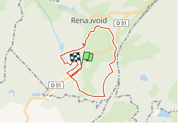

6.1 km | 7.5 km-effort


User


FREE GPS app for hiking
 SityTrail
IGN / Geographical institutes
SityTrail World
The world is yours!
Trail Walking of 7 km to be discovered at Grand Est, Vosges, Renauvoid. This trail is proposed by BernardHumeau.
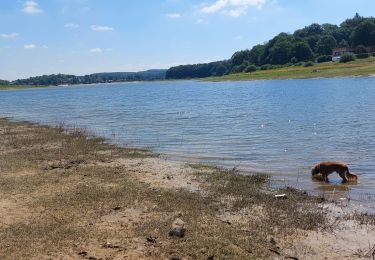
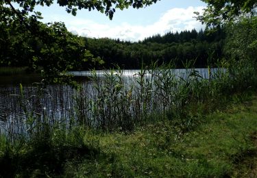
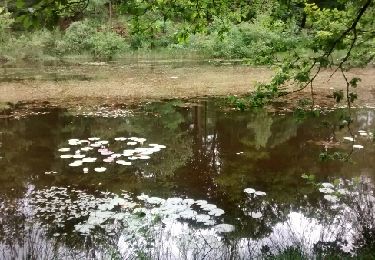
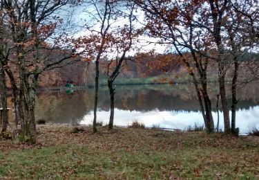
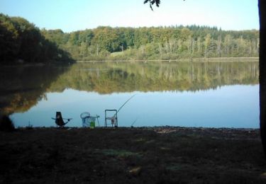
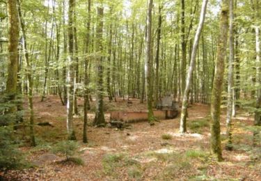
Petite rando facile de l'après midi à travers bois (feuillus et cônifères), un bon bol d'air dans les pâtures
Walking
Walking
Walking

Walking
Walking

Walking
Mountain bike
Mountain bike
Mountain bike