


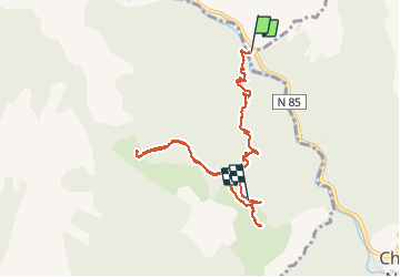

13.1 km | 22 km-effort

User


FREE GPS app for hiking
 SityTrail
IGN / Geographical institutes
SityTrail World
The world is yours!
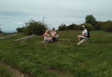
Trail Walking of 8.8 km to be discovered at Provence-Alpes-Côte d'Azur, Alpes-de-Haute-Provence, Chaudon-Norante. This trail is proposed by GrouGary.
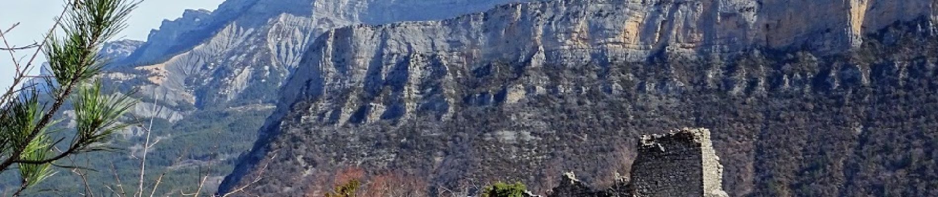
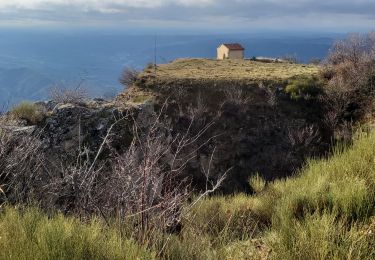
A/R pour Hameau de Creisset puis Haut Villard et chapelle St Étienne.
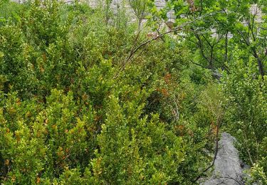
Dommage que ces ruines soient en grande partie sous les ronces, buis...


Walking

Walking
Walking
Walking
Walking
Walking
Walking
Walking
Walking